Disclosure : This site contains affiliate links to products. We may receive a commission for purchases made through these links.
Clay Cross (South) 1914 – 30.11


Related Products:
 Clay Cross (North) 1913 – 30.07
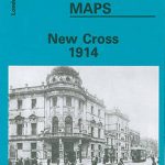 New Cross 1914 – 104.3
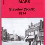 Staveley (South) 1914 – 18.16
 Gateshead South (Bensham, Teams & Shipcote) 1914: Tyneside Sheet 23b
 Stourbridge South and Oldswinford 1914
 On Courage: Stories of Victoria Cross and George Cross Holders
 South: The Illustrated Story of Shackleton`s Last Expedition 1914-1917
 Between Clay and Dust
 Planet Of Clay
 Feet of Clay: (Discworld Novel 19)
 Bodmin – Lostwithiel & The China Clay District 1894 – 347
 Clay
Clay
 Bridge of Clay
 London Clay: Journeys in the Deep City
 Sweet Caress: The Many Lives of Amory Clay
 Enfield (Forty Hill & Clay Hill) 1935 – 2.15
 Don`t Cross the Line!
 Sisters of the Cross
 Waltham Cross 1896 – 41.12
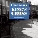 Curious King`s Cross
 Cornwall Sustrans Cycle Map 1 – The Camel Trail – Clay Trails – Mineral Tramways
 Burley Cross Postbox Theft
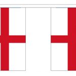 St George`s Cross 20 Flag Bunting
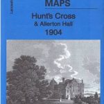 Hunt`s Cross & Allerton Hall 1904 – 114.09
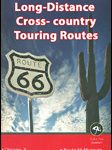 USA: Map Maps Long-Distance Cross-Country Touring Routes
 Maesteg 1914 – 26.09
 Nantyffyllon 1914 – 26.05
 Aberavon 1914 – 25.13
 Brimington 1914 – 18.15
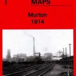 Murton 1914 – 21.06
 Darlington 1914 – 55.06b
 Wolverhampton SW 1914 – 62.10b
 Pleasley 1914 – 31.07
 Low Fell 1914 – 6.08b
 Penrhiwceiber & Tynetown 1914 – 19.10
 Staveley (North) 1914 – 18.12
 Whittington Moor 1914 – 18.14
 Gateshead Fell 1914 – 7.05b
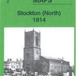 Stockton (North) 1914 – 50.12b
 Central Sunderland 1914 – 8.14b