Disclosure : This site contains affiliate links to products. We may receive a commission for purchases made through these links.
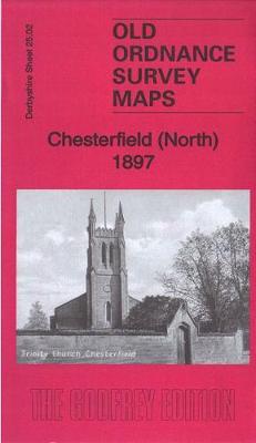
Chesterfield (North) 1897 – 25.02

Related Products:
 Airdrie (North) 1897 – 8.06
 Swansea (North) 1897 – 24.01
 Chesterfield 1898 – 25.06a
 Chesterfield: Bedrock & Superficial Deposits
 Chesterfield – Mansfield & Matlock 1889 – 112
 Chesterfield 1914 – 25.06b
 Chesterfield & Alfreton – Sutton in Ashfield & Bolsover OS Explorer Map 269 (paper)
 CHS Chart 5630 – Dunne Foxe Island to Chesterfield Inlet
 Chesterfield & Alfreton – Sutton in Ashfield & Bolsover OS Explorer Active Map 269 (waterproof)
 Buxton, Matlock, Chesterfield, Bakewell & Dove Dale OS Landranger Map 119 (paper)
CHS Chart 5533 – Roes Welcome Sound (Chesterfield Inlet to Cape Munn)
Buxton, Matlock, Chesterfield, Bakewell & Dove Dale OS Landranger Map 119 (paper)
CHS Chart 5533 – Roes Welcome Sound (Chesterfield Inlet to Cape Munn)
 Bakewell 1897 – 23.11
 Dronfield 1897 – 18.01
 Buxton, Matlock, Chesterfield, Bakewell & Dove Dale OS Landranger Active Map 119 (waterproof)
 Swansea (West) 1897 – 23.08
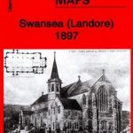 Swansea (Landore) 1897 – 15.13
 Eye – Stowmarket & District 1897 – 190
 NW Norfolk 1897-1906 – 130
 Worcester & The Malverns 1897 – 199
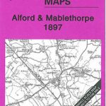 Alford & Mablethorpe 1897 – 91/104
 Skegness & District 1897 – 116
 Horncastle & District 1897 – 115
 Airdrie (South) 1897 – 8.10
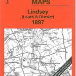 Lindsey (Louth & District) 1897 – 103
 Wellingborough – Rushden & District 1897 – 186
 Wincanton – Mere & District 1897 – 297
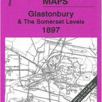 Glastonbury & The Somerset Levels 1897 – 296
 West Suffolk (Bury & Mildenhall) 1897 – 189
 Warwick & Rugby 1897 – 184.1 Coloured Edition
 East Somerset & West Wilts 1897 – 281
 Ilfracombe & Minehead 1897: One Inch Sheet 277/278
 The Vale of Taunton & The Quantock Hills 1897 – 295
 Barnstaple – South Molton & Exmoor (West) 1897 – 293
 Great Britain: Victorian England & Wales 1897 Maps from the Old House Books
CHS Chart 5620 – Entrance to Chesterfield Inlet (Fairway Island to Ellis Island)
Great Britain: Victorian England & Wales 1897 Maps from the Old House Books
CHS Chart 5620 – Entrance to Chesterfield Inlet (Fairway Island to Ellis Island)
 SHOM Charts for the North East Atlantic, North Sea, Baltic Sea, Mediterranean Sea
 Tow Law 1897
North-Holland North ANWB Cycling Junction Map 14
Tow Law 1897
North-Holland North ANWB Cycling Junction Map 14
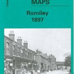 Romiley 1897
 Swansea 1897 – 24.05