Disclosure : This site contains affiliate links to products. We may receive a commission for purchases made through these links.
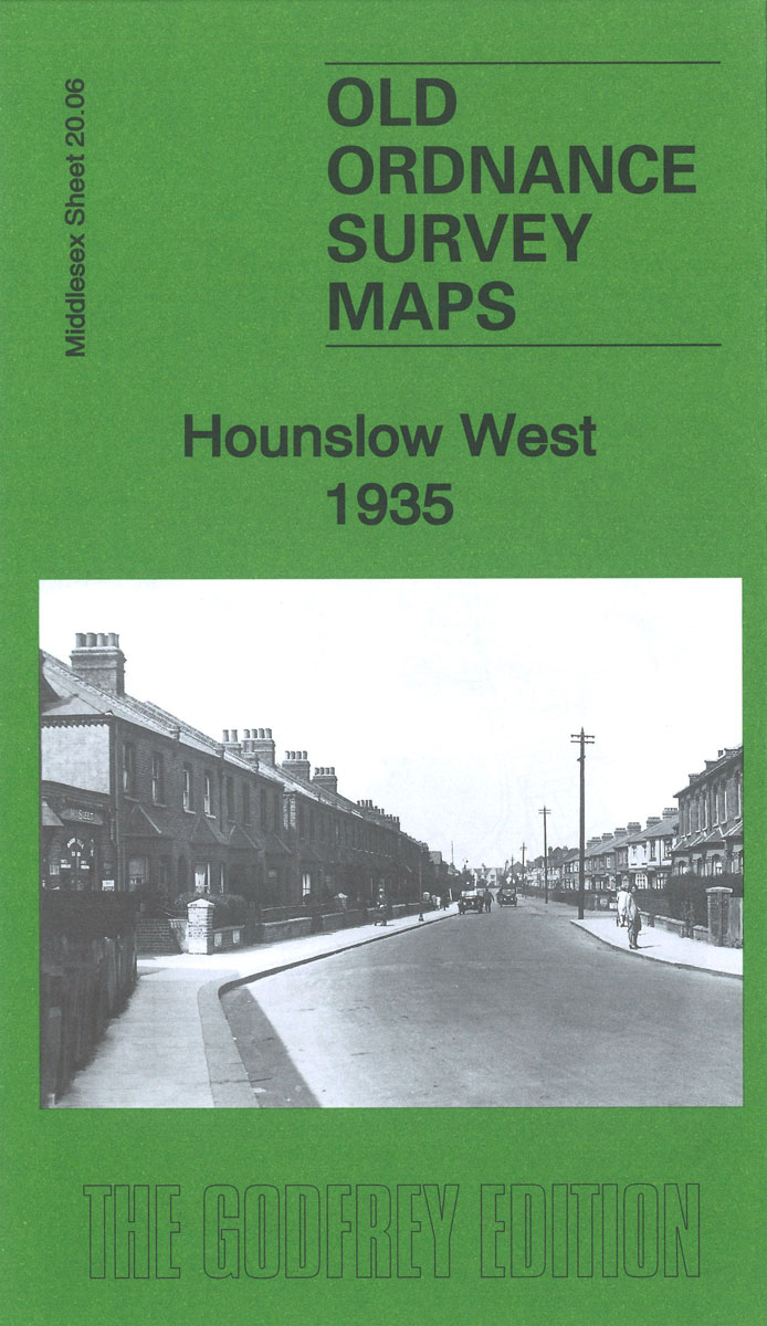
Hounslow West 1935 – 20.06c

Related Products:
 Whitton – South Hounslow & Mogden 1935 – 109.4
 Hounslow West 1894 – 20.06a
 West Drayton South 1935
 London: Hounslow Borough Map – Stanfords Print on Demand
 Bellshill 1935 – 11.08
New Brighton 1935
Bellshill 1935 – 11.08
New Brighton 1935
 Edgware 1935
Brentford 1935 – 83.4
Edgware 1935
Brentford 1935 – 83.4
 Harefield 1935
 Heston 1935
 Northolt 1935
 Wealdstone and Hatch End 1935
 Southall Green 1935
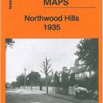 Northwood Hills 1935
Ashford (Middx) 1935 – 24.04
Northwood Hills 1935
Ashford (Middx) 1935 – 24.04
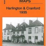 Harlington and Cranford 1935
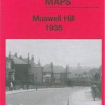 Muswell Hill 1935 – 11.4
 Wood Green 1935 – 7.4
Tannochside & North Uddingston 1935 – 11.03
Wood Green 1935 – 7.4
Tannochside & North Uddingston 1935 – 11.03
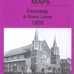 Hornsey & Green Lanes 1935 – 12.4
 South Acton & Gunnersbury Park 1935 – 71.4
 South Harrow and Northolt Park 1935
 Alexandra Park and South Friern 1935
Baguley 1935 – 111.13b
Alexandra Park and South Friern 1935
Baguley 1935 – 111.13b
 Enfield (South) 1935 – 7.07b
 Enfield (North) 1935 – 7.03b
 Gunnersbury & Old Brentford 1935 – 84.4
 Nein!: Standing up to Hitler 1935-1944
 National Geographic World – Published 1935 1107 x 579 mm
 Pictorial Map of England and Wales 1935 Gift Wrap
 Admiralty Chart 1935 – Approaches to Blyth the River Tyne and Sunderland
 Writer, Sailor, Soldier, Spy: Ernest Hemingway`s Secret Adventures, 1935-1961
 South West Secret Agents: True Stories of the West Country at War
 Cathedrals of Britain: West, South West and Wales
 Mountain Biking in West and North West Scotland
 The Folk Who Live In The West: Tales from the West Coast
 Enfield (Forty Hill & Clay Hill) 1935 – 2.15
 Out West: An Englishman`s Travels Through the American West
 Trekking the Hadrian`s Wall Path (National Trail Guidebook with OS 1:25k maps): Two-way guidebook: described east-west and west-east
Admiralty Chart Folio 90 – West Coast North America – Cape Mendocino to Vancouver Island including West Coast of Vancouver Island
Trekking the Hadrian`s Wall Path (National Trail Guidebook with OS 1:25k maps): Two-way guidebook: described east-west and west-east
Admiralty Chart Folio 90 – West Coast North America – Cape Mendocino to Vancouver Island including West Coast of Vancouver Island