Disclosure : This site contains affiliate links to products. We may receive a commission for purchases made through these links.
50 Miles Around Bristol Wall Map PAPER
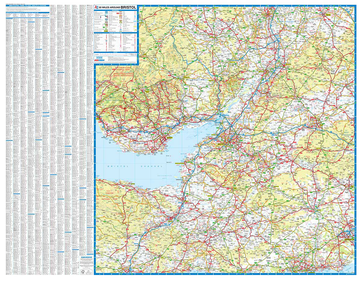
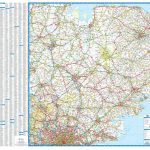
Regional wall map of 50 miles around Bristol, *paper version*, at 1:200,000 (3.2 miles to 1inch) from A to Z, covering: Builth Wells (Llanfair-ym-Muallt), Worcester, Stratford-upon-Avon, Southampton, Bournemouth, Dorchester, Exeter and Brecon (Aberhonddu). Clear presentation of the road network shows motorways, A and B roads, some minor and local roads, with gradients of 1:5 and steeper indicated. Service stations, railway lines and stops, ferry terminals, and airports are clearly marked.Tourist information such as points of interest and local facilities are prominently highlighted with a variety of symbols. Topography is shown by altitude tints, if in rather broad bands, with spot heights (in feet) and additional colouring for woodland areas; the National Grid is overprinted on the cartography. National and unitary authority boundaries are indicated. Current edition of this title was published in 2010 and indicates location of petrol stations on local roads.

Related Products:
 50 Miles Around Birmingham A-Z Wall Map
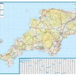 Devon & Cornwall A-Z Wall Map PAPER
 Glasgow – Edinburgh & Central Scotland A-Z Wall Map PAPER
 East Anglia A-Z Wall Map
 50 Miles Around Bristol A-Z Map
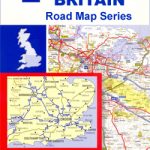
 Great Britain: A-Z Regional Wall Maps
 Kent A-Z Visitors` Wall Map
 Bristol Premier A-Z Wall Map PAPER
 Great Britain: A-Z Five Miles to One Inch Wall Maps
 50 Miles Around London A-Z Map
Scotland North & South A-Z Wall Map PAPER
50 Miles Around London A-Z Map
Scotland North & South A-Z Wall Map PAPER
 Saskatchewan ITMB
 Manitoba ITMB
 Dzukija National Park
ลฝemaitija National Park
Aukลกtaitijos National Park
Dzukija National Park
ลฝemaitija National Park
Aukลกtaitijos National Park
 Bhutan & Northeast India ITMB
Curonian Spit National Park
Anyksciai Regional Park Tourist Map
Bhutan & Northeast India ITMB
Curonian Spit National Park
Anyksciai Regional Park Tourist Map
 Great Britain: Ordnance Survey Tour Maps
 South East & Central England A-Z Wall Map PAPER
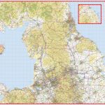 Northern England A-Z Wall Map PAPER
Grazute – Sartai Regional Parks Tourist Map
Panemuniu – Dubysa – Rambynas Regional Parks
Northern England A-Z Wall Map PAPER
Grazute – Sartai Regional Parks Tourist Map
Panemuniu – Dubysa – Rambynas Regional Parks
 USA: The Essential Geography of the United States of America Wall Map PAPER
 Great Britain: A-Z Five Miles to One Inch Road Maps
 Albania F&B Top 10 Tips
Kaunas and Environs
Albania F&B Top 10 Tips
Kaunas and Environs
 Bristol, Bath, Thornbury & Chew Magna OS Landranger Map 172 (paper)
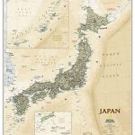 Japan NGS Executive Wall Map PAPER
 Perthshire: Highland Perthshire Cycling Map
 London Premier A-Z Wall Map PAPER
 USA Michelin
 Cairngorms & Lochnagar Harvey British Mountain Map XT40
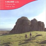 Dartmoor Harvey British Mountain Map XT40
 Bristol & Bath – Keynsham & Marshfield OS Explorer Map 155 (paper)
 Ben Nevis & Glen Coe Harvey British Mountain Map XT40
 Tajikistan – The Pamirs Gizi Map Wall Map
 British Isles Political Wall Map PAPER
 Britain and Ireland NGS Classic Wall Map PAPER