Disclosure : This site contains affiliate links to products. We may receive a commission for purchases made through these links.
Cape Town & Peninsula Map Studio
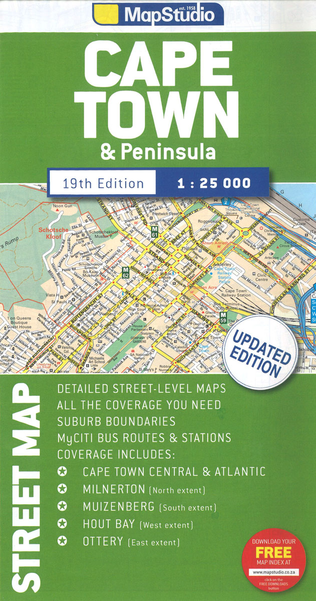
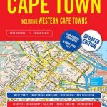
Cape Town with its outer districts on a large, double-sided street plan at 1:25,000 from Map Studio, with enlargements of the city centre and the Waterfront area, plus two detailed maps of the city’s motorway junctions.The map divides the city north/south, with a generous overlap between the sides. Motorways and other main traffic arteries are indicated by colouring. Motorway junctions are well drawn, with two more complicated ones (M3 to N2 and M5 to N1) presented enlarged on separate insets. One way streets, traffic lights, car parks and toll plazas are marked. A range of symbols highlight various places of interest, facilities and services, including shopping centres, caravan parks and wine estates with sales points. Street index is available as a free download.Enlargements show in greater detail Cape Town’s city centre and the Waterfront – Cape Town Stadium area. Also provided is a list of recent changes in place names.


