Disclosure : This site contains affiliate links to products. We may receive a commission for purchases made through these links.
Happy…
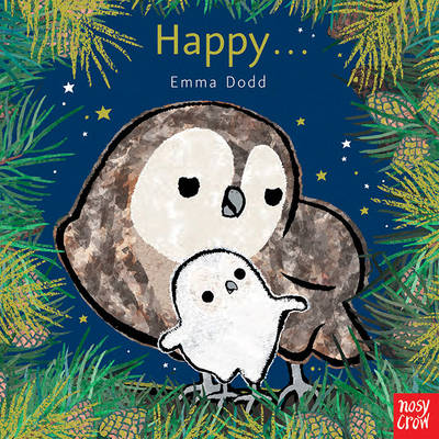
Little owl loves playing games, trying new things and singing, but what makes little owl happiest of all? Why, when he cuddles close with his mummy and whispers, “I love you”. “I know that you are happy when you wake me with a song. I know that you are happywhen you hop and skip along.”

Related Products:
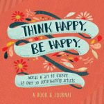 Think Happy, be Happy: Words & Art to Inspire by Over 30 Contributing Artists
 Run Mummy Run: Inspiring Women to Be Fit, Healthy and Happy
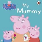 Peppa Pig: My Mummy First Board Storybook
 Peppa Pig: Happy Birthday!
 Pops for Tots: The Happy, Snappy Shark: The Happy, Snappy Shark
 Happy as a Dane : 10 Secrets of the Happiest People in the World
 Happy Vegan: Easy Plant-Based Recipes to Make the Whole Family Happy
 Happy Food: How eating well can lift your mood and bring you joy
 Happy Leons: Leon Happy One-Pot Cooking
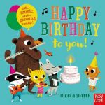 Happy Birthday to You!
 Little Fish and Mummy
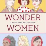 Wonder Women: A Happy Families Card Game:A Happy Families Card Ga
Happy Leons: Leon Happy Curries
Wonder Women: A Happy Families Card Game:A Happy Families Card Ga
Happy Leons: Leon Happy Curries
 Happy Howloween: A Canine Pop-Up Treat
 Happy Street: Bookshop
 Why be Happy When You Could be Normal?
 The Valentines: Happy Girl Lucky
 Happy Prince & Other Stories
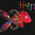 Happy
Happy
 Mr. Happy
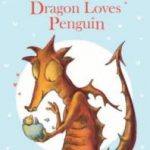 Dragon Loves Penguin
 Peppa Pig: I Love You, Mummy Pig
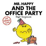 Mr Happy and the Office Party
 The Happy Prince: A hand-lettered edition
 Peppa Pig: Happy Birthday, Peppa!
Happy Cat
Peppa Pig: Happy Birthday, Peppa!
Happy Cat
 The Happy Prince and Other Tales
 Peppa Pig: My Mummy and Me
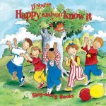 If You`re Happy and You Know it
 My Happy Life
Happy Street
My Happy Life
Happy Street
 Happy City: Transforming Our Lives Through Urban Design
 The Happy Countryman
 The Happy Campers
 The Happy Prince & Other Stories
 World of Happy: My Little World of Happy
 Peppa Pig: Mummy and Me Sticker Colouring Book
 Happy Day (Bouquet in a Book)
 Instant Happy: 10-Second Attitude Makeovers
 Happy Pear: Healthy, Easy, Delicious Food to Change Your Life