Disclosure : This site contains affiliate links to products. We may receive a commission for purchases made through these links.
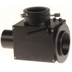
Canon M48x0.75 Adaptor for Coma Corrector
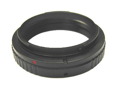
We keep this item in our warehouse and it may take a month to reach you.Designed for attaching a Canon DSLR camera to any of the Sky-Watcher 0.85x Focal Reducer/Correctors (product codes 20234, 20235 & 20236).

Related Products:
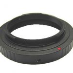 Nikon M48x0.75 Adaptor for Coma Corrector
 T-Ring for Canon EOS DSLR
 2″ T-Mount Adaptor
 DSLR Camera Adaptor for Fieldmaster-ED82DS
 Tele-camera Adaptor (1.25″/31.7mm)
 Universal SkyWatcher/Tal Camera Adaptor (1.25″/31.7mm)
 Universal Digiscoping Adaptor (for Eyepieces up to 2″)
 Digital Camera Adaptor for Waterproof ST Series Acuter Spotting Scopes (T mount)
 T-Ring for Nikon DSLR
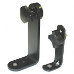
 L-Bracket for AZ4 Mount
 Adaptor for Cameras with 1.25″ Nosepieces
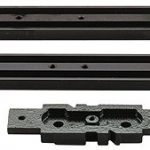 Medium Sky-Watcher Dovetail Bar
 Long Sky-Watcher Dovetail Bar
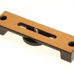
 Short Sky-Watcher Mounting Plate
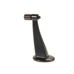
 Tripod Adaptor for AZ-3
 9×50 Sky-Watcher Finderscope (complete with Bracket)
 Binocular/ Tripod Adaptor (slim-profile – for roof prism binoculars with narrow inter-objective distance)
 L ‘“ Type Binocular/ Tripod adaptor (small)
 AZ4-1 Alt-Azimuth Mount (with Aluminium Tripod & Spotting Scope Bracket)
 AZ4-2 Alt-Azimuth Mount (with 1.75″ Stainles Steel Tripod and Spotting Scope Bracket)
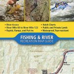 Arkansas River – Salida to Canon City
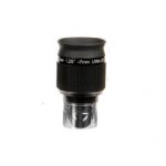
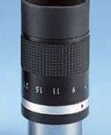 7-21mm Zoom Eyepiece (1.25″/31.7mm)
 4mm SkyWatcher Planetary UWA 58 degree Eyepiece
 6mm SkyWatcher Planetary UWA 58 degree Eyepiece
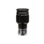
 7mm SkyWatcher Planetary UWA 58 degree Eyepiece
 9mm SkyWatcher Planetary UWA 58 degree Eyepiece
 2.5mm SkyWatcher Planetary UWA 58 degree Eyepiece
 Electronic Shutter Release Cable C1
 Pikes Peak – Canon City CO
Evostar-90 (EQ-2) Refractor Telescope
Pikes Peak – Canon City CO
Evostar-90 (EQ-2) Refractor Telescope
 Echoes of Sherlock Holmes: Stories Inspired by the Holmes Canon
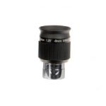
 5mm SkyWatcher Planetary UWA 58 degree Eyepiece
 Sky-Watcher 7Ah Rechargeable Power Tank
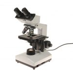 Microlab-1000BD `Digital` Microscope
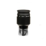
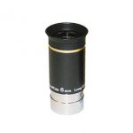 6mm UltraWide Eyepiece (1.25″/31.7mm Format)
 9mm UltraWide Eyepiece (1.25″/31.7mm Format)
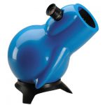 Infinity-76P 3″ Parabolic Reflector Telescope
 15mm UltraWide Eyepiece (1.25″/31.7mm Format)
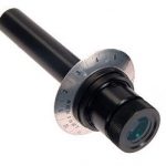 HM5 Polar Alignment Scope for EQ3-2 Mount
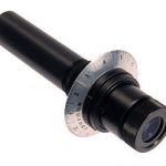 HM5 Polar Alignment Scope for EQ5 Mount