There are four titles in the series. In Billy Bunny learn all about animals; in Bobby Bear uncover facts about the field and forest; in Oscar Read More »
This guide describes a 1052km cycle route that starts at the source of the Loire in the Massif Central mountains of central France and finishes at Read More »
Explore Porto with the smartest and most insightful guidebook on the market. Written with Rough Guides` trademark mix of honesty, wit and practical advice, this fully Read More »
A brand new young fiction series by TV broadcaster and intrepid explorer Ben Fogle, inspired by his real-life animal experiences… Co-written with best-selling children`s author Steve Read More »
Admiralty standard nautical charts comply with Safety of Life at Sea (SOLAS) regulations and are ideal for professional, commercial and recreational use. Charts within the series Read More »
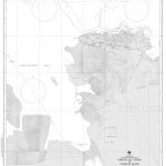
Produced by the US Government, National Geospatial-Intelligence Agency (NGA) charts provide information for the International Waters. They are printed on demand at our London shop and Read More »
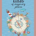
Upside-down mountains, volcanoes that spew bubble gum, a gentle humpback whale keeping an entire city afloat. These and other wonderful worlds may not exist on Earth, Read More »
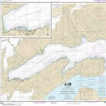
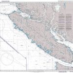
NOAA maintains the nautical charts and publications for U.S. coasts and the Great Lakes. Over a thousand charts cover 95,000 miles of shoreline and 3.4 million Read More »