Disclosure : This site contains affiliate links to products. We may receive a commission for purchases made through these links.
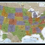
LandScope USA Conservation NGS Wall Map
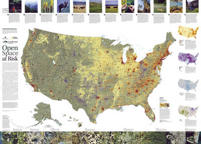
The National Conservation Wall Map tells the story of the changing face of land conservation in the United States and the continuing threats to the nation`s open space. Side one: ?Natural States of America,” highlights the ever-growing role that land trusts are playing in private land conservation across the U.S. It features descriptions of the major ecological divisions of the U.S., with a stunning photographic ?transect” of the nation`s diverse ecosystems. Inset maps highlight imperiled species hotspots, vertebrate species richness, dollar investments in open space, and land trust activity across the country. Side two: ?Open Space at Risk,” highlights pressures facing open space preservation from development pressure to oil and gas development to loss of agricultural lands. Inset maps show projected residential development in 2030, areas most vulnerable to climate change, severely altered river flows, and the spread of invasive species. Stories at the top of the map describe how organizations across the country are working creatively and cooperatively to save places in the face of these growing threats.Map is printed on premium quality paper stock, rolled, and wrapped in kraft paper without display packaging.More information at www.landscope.org


