Disclosure : This site contains affiliate links to products. We may receive a commission for purchases made through these links.
North York Moors Cycling Country Lanes & Traffic-Free Family Routes
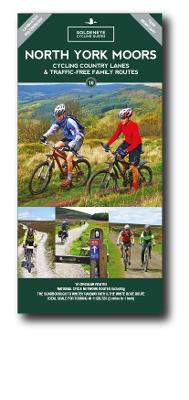
Explore the North York Moors by bike with this laminated, waterproof map. With 16 circular, clearly-marked routes this easy-to-use map will help you discover the very best of the North York Moors along the quietest country lanes. The North York Moors National Park occupies a region of elevated rolling moorland, forming a steep escarpment on the north and west, and a rugged indented coastline to the east. The Moors are cut up by a series of small streams, deeply incised to create a landscape of real charm and perfect for exploring by bike. Our North York Moors Cycling Country Lanes map includes: * Traffic-free family cycling trails – including the Vale of Pickering, the River Esk trail and the Howardian Hills with recommendations on where to park. * National Cycle Network routes – the linked series of traffic-free paths and traffic-calmed roads being developed across the UK. * Our personal favourites – we`ve explored every corner of the North York Moors to bring you the best circular routes to make the most of your weekend whether you fancy a lazy meander or a full-on tour. So, if you seek quiet country lanes, river valleys and routes along flat ridges affording spectacular views that swoop down to picturesque villages, look no more. It is all here.


