Disclosure : This site contains affiliate links to products. We may receive a commission for purchases made through these links.
Come with Me to New York Coloring Book: Mini Edition

Related Products:
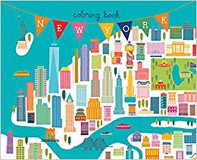
 New York Coloring Book
 The Martin Parr Coloring Book!
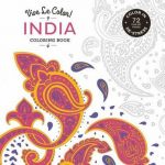 Vive le Color! India (Coloring Book)
 Creative Haven Modern Tattoo Designs Coloring Book
 Fantastic Cities: A Coloring Book of Amazing Places Real and Imagined
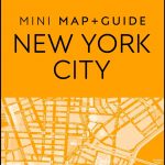 DK Eyewitness Mini Map and Guide New York City
 New York: A Book of Colors
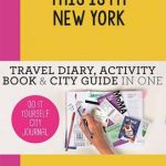 This is my New York: Travel Diary, Activity Book & City Guide in One
 NOAA Chart 14786 – SMALL-CRAFT BOOK CHART – New York State Canal System (book of 61 Charts)
 Animal Coloring Atlas
 Juniper Address Book Mini
 I Can Do it: Mini Deluxe Custom Frame Sound Book
 New York Pop Up Book
 The Little Book of New York
 Where`s Wally? The Magnificent Mini Book Box – 5 Books & Magnifying Glass
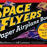 Space Flyers Paper Airplane Book: 63 Mini Planes to Fold and Fly
 Pocket Flyers Paper Airplane Book: 69 Mini Planes to Fold and Fly
 A Book Lover`s Guide to New York
 The Little Book of New York: Celebrating the City that Never Sleeps
 New York 3D Expanding City Skyline – Pocket Pop up Book
Coloring for Thinkers
New York 3D Expanding City Skyline – Pocket Pop up Book
Coloring for Thinkers
 Harry Potter Coloring Kit
 Paris Match: Falling in love with the French. A New York Times holiday book of the year.
 Harry Potter Magical Creatures Coloring Kit
 Bonjour New York: A Fine Selection of Unique Spots for a Genuine New York Experience
 Pretty City New York: Discovering New York`s Beautiful Places
 New York: How to Find Old New York Map/Guide
 City on a Grid: How New York Became New York
 New York, New York: Mid-Sized Edition
 New York: Architectural Guide: A Critics Guide to 100 Iconic Buildings in New York from 1999 to 2020
 New York Art Deco Map – Guide to Art Deco architecture in New York City
 The Sea Mini Calendar 2022
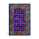 Celeste Mini Unlined
 Le Jardin Mini Notebook Set
 Alice`s Adventures Mini Notebook Set
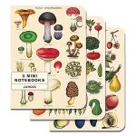
 Mini Notebook Set NHM Flora & Fauna
 Mountains Mini Calendar 2022
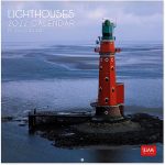 Lighthouses Mini Calendar 2022
 Herbarium Mini Calendar 2022
 Oxford French Mini Dictionary