Disclosure : This site contains affiliate links to products. We may receive a commission for purchases made through these links.
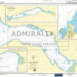
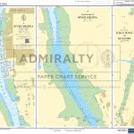
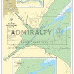
Admiralty Chart SC5600_18 – Harbours, Creeks and Anchorages in the Solent
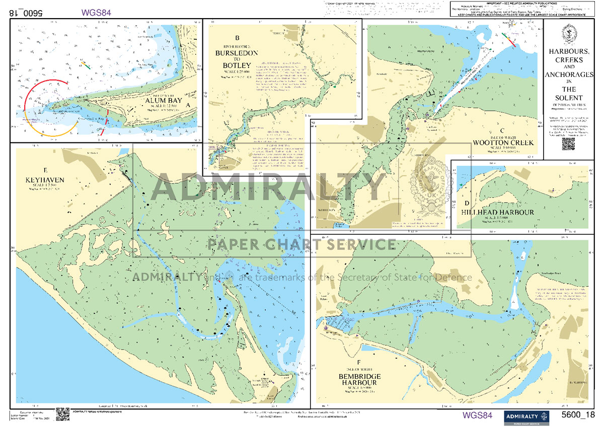
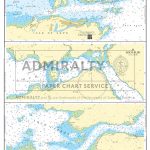
NEWAdmiralty Small Craft nautical charts comply with Safety of Life at Sea (SOLAS) regulations and are ideal for professional, commercial and recreational use. Charts within the series consist of a range of scales, useful for passage planning, coastal navigation and entering port.All Admiralty Small Craft nautical charts are A2 size, 590x420mm.This chart was previously a part of SC5600 folio.Included:A Isle of Wight, Alum Bay1:12,500B River Hamble, Bursledon to Botley1:25,000C Isle of Wight Wootton Creek1:10,000D Hillhead Harbour1:3,000E Keyhaven1:7,500F Isle of Wight, Bembridge Harbour1:5,000

Related Products:
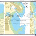
 Admiralty Chart SC5600_4 – Lymington River – Continuation of Lymington River – Isle of Wight Yarmouth Harbour, River Yar
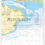
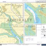
 Admiralty Chart SC5600_8 – Entrance to River Hamble – Warsash to Satchell Marsh – Mercury Yacht Harbour to Bursledon Bridge – Bursledon Bridge
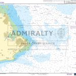
 Admiralty Chart SC5623_6 – Harbours and Anchorages in South West Ireland
 Admiralty Chart SC5600_6 – Beaulieu River – Continuation of Beaulieu River – Isle of Wight, Newton River and Continuation
 Admiralty Chart SC5600_9 – River Hamble to Cowes – Continuation to Hythe
 ADMIRALTY Leisure Folio SC5600 – the Solent & Approaches -19th edition
 Admiralty Chart SC5616_17 – Loch Hourn
 Admiralty Chart SC5615_18 – Whitby Harbour – Hartlepool – Sunderland
 Admiralty Chart SC5615_20 – Entrance to River Tyne – Warkworth Harbour
 Admiralty Chart SC5603_7 – Penzance Bay – Mousehole – Newlyn – Penzance
 Admiralty Chart SC5615_17 – River Forth Grangemouth Roads – River Forth, Grangemouth and River Carron – River Forth River Carron
 Admiralty Chart SC5610_6 – Plans in the Kyles of Bute
 Admiralty Chart SC5602_5 – Falmouth Harbour – Upper Reaches of the Percuil River – Penryn Harbour
 Admiralty Chart SC5614_23 – Whitby / Scarborough Bay
 Admiralty Chart SC5600_1 – Outer Approaches to the Solent
 Admiralty Chart SC5600_2 – Western Solent and Approaches
 Admiralty Chart SC5600_3 – Eastern Solent and Approaches
 Admiralty Chart SC5600_19 – Eastern Approaches to the Solent
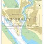
 Admiralty Chart SC5600_22 – River Medina – Continuation of River Medina – River Medina, Folly Point to Newport
 Admiralty Chart SC5617_15 – Montrose Harbour – Arbroath Harbour – Stonehaven Harbour
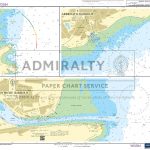
 Admiralty Chart SC5600_16 – Langstone Harbour – Upper Reaches of Langstone Harbour – Chichester Harbour, Bosham and Fishbourne Channels
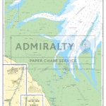 Admiralty Chart SC5614_11 – The Wash – Central Part
Admiralty Chart SC5603_13 – Falmouth Harbour – Upper Reaches of the Percuil River – Penryn Harbour
Admiralty Chart SC5614_11 – The Wash – Central Part
Admiralty Chart SC5603_13 – Falmouth Harbour – Upper Reaches of the Percuil River – Penryn Harbour
 Admiralty Chart SC5600_17 – Approaches to Langstone and Chichester Harbours
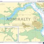
 Admiralty Chart SC5600_15 – Portsmouth Harbour, Approaches to Port Solent
 Admiralty Chart SC5617_17 – Peterhead Bay and Harbours – Banff and Macduff – Fraserburgh
 Admiralty Chart SC5604_1 – Isle of Wight to Guernsey
 Admiralty Chart SC5617_19 – Caledonian Canal – Northern Part and Inverness
 Admiralty Chart SC5600_12 – Entrance to Portsmouth Harbour – Continuation of Forton Lake – Continuation of Stoke Lake
 Admiralty Chart SC5602_17 – Hamoaze – River Lynher
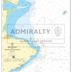
 Admiralty Chart SC5607_10 – Harbours on the East Coast
 Admiralty Chart SC5602_7 – Fowey Harbour – River Fowey Mixtow to Saint Winnow – Continuation of River Fowey Saint Winnow to Lostwithiel
 Admiralty Chart SC5600_10 – River Itchen – Ashlett Creek
 Admiralty Chart SC5621_4 – Skerries Islands
 Admiralty Chart SC5602_12 – Salcombe Harbour – Salcombe
 Admiralty Chart SC5616_18 – Kyle Akin
 Admiralty Chart SC5617_1 – Isle of May to River Tay Entrance
 Admiralty Chart SC5600_11 – River Test
 Admiralty Chart SC5614_12 – The Wash – Western Part
 Admiralty Chart SC5602_18 – Upper Reaches of River Dart, River Yealm and Looe