Disclosure : This site contains affiliate links to products. We may receive a commission for purchases made through these links.
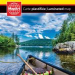
Alberta FastTrack
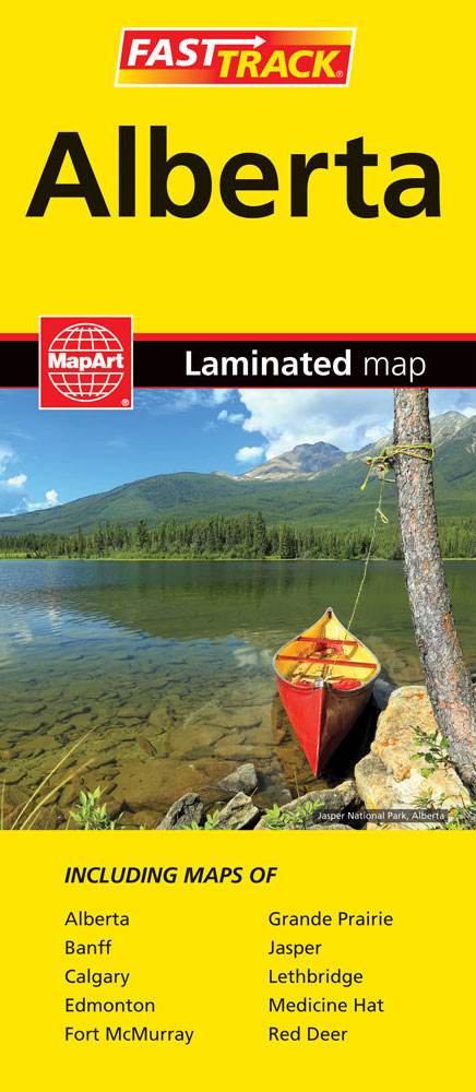
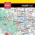
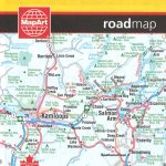
Waterproof and tear-resistant FastTrack map presenting in a handy-size format a road map of Alberta, plus enlargement of the environs of Calgary and Edmonton, and street plans Banff, Jasper, Fort McMurray, Grande Prairie, Lethbridge, Medicine Hat and Red Deer.The province is presented at 1:1,500,000 divided north/south with a small overlap between the sides. Its famous Banff and Jasper National Parks, as well as other protected areas are prominently highlighted, with topography shown by names of mountain ranges, peaks with their heights, and mountain passes. Road network indicates loose surface, unimproved or seasonal roads, with driving distances on main routes. Railway lines are not included but locations with scheduled air service are marked. Symbols indicate locations of campsites, tourist information offices, various places of interest, etc. The map shows no geographical coordinates and has an index of place names.Environs of Calgary and Edmonton are presented on an enlargement at 1:250,000; the seven street plans are at scales between 50K and 110K.To see the list of currently available Canadian province and regional maps form the MapArt / Canadian Cartographics Corporation / JDM Gรฉo publishing group, including waterproof and tear-resistant FastTrack titles, please click on the series link.

Related Products:
 Edmonton – Jasper & Environs FastTrack
 Alberta MapArt
 British Columbia – Alberta FastTrack
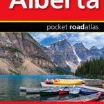 Alberta Pocket Road Atlas
 Alberta & Saskatchewan
 Alberta ITMB
 Edmonton – Sherwood Park FastTrack Map
 Calgary – Banff & Enviros FastTrack
 British Columbia – Alberta MapArt
 British Columbia FastTrack
 Alberta MapArt Back Road Atlas
 Jasper National Park & Northern Alberta ITMB
 Canadian Rockies – Banff – Jasper – Yoho Gem Trek Map
 Newfoundland & Labrador FastTrack
 Montreal FastTrack
 Ottawa – Gatineau FastTrack
 Quรฉbec Province FastTrack
 Quebec City FastTrack
 Victoria FastTrack
 Winnipeg FastTrack
 Saskatchewan FastTrack
 Niagara Region (Canada) FastTrack Map
 Vancouver FastTrack
 Fort McMurray & Towns of Central and Northern Alberta
 Calgary FastTrack
 Edmonton & Northern Alberta Street Atlas
 British Columbia MapArt
 Vancouver Island FastTrack
 Ontario Northern FastTrack Map: North Bay – Sudbury – Thunder Bay – Lake of the Woods
 Edmonton AB
 New Brunswick – Prince Edward Island FastTrack
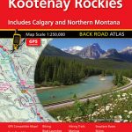 Kootenay Rockies – Calgary and Northern Montana Back Road Atlas
 Canada FastTrack
 Banff & Jasper National Parks ITMB
 Canada: Gem Trek Hiking Maps of the Banff & Jasper National Parks & the Canadian Rockies
 Eger
Eger
 Montreal Pocket Street Atlas
 Calgary Pocket Street Atlas
 Szeged
 Pรฉcs
Pรฉcs