Disclosure : This site contains affiliate links to products. We may receive a commission for purchases made through these links.
British Columbia ITMB Pocket Road Atlas
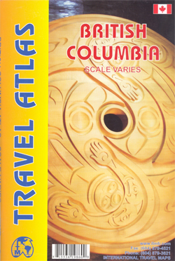
75-page, A5 paperback atlas of British Columbia from the Vancouver based ITMB, with street plans of central Vancouver, Victoria and Whistler Village, plus enlargements for the southern tip of the Vancouver Island, the environs of Vancouver and the recreational area around Whistler.The southern half of the province, including most of the Queen Charlotte Islands is shown at 1:925,000, with the remainder of the province at 1:1,250,000. Altitude colouring provides very generalized indication of the topography, with peak names and heights given in some areas. National and provincial parks and protected areas are prominently marked. Numerous camping and RV sites are highlighted, including some in more remote areas for which a more detailed map would be necessary. Symbols indicate recreational areas for hiking, skiing, rafting, etc. as well as various places of interest. The atlas shows the province’s road and rail networks, indicating roads passable only in dry weather or in 4WD vehicle. In remote areas locations petrol stations are marked. Enlargements are provided for the environs of Vancouver (1:185,000) and the southern tip of Vancouver Island (1:250,000). The recreational area around Whistler 1:50,000) shows gondola lines and chair lifts. Also included are plans of Vancouver (the inner districts, plus enlargements for downtown), central Victoria, plus Whistler Village.*PLEASE NOTE:The grid showing how British Columbia is divided between the individual pages of the atlas has no place names, greatly reducing its suitability for visitors unfamiliar with the geography of the province.*


