Disclosure : This site contains affiliate links to products. We may receive a commission for purchases made through these links.
Gibraltar – Strait of Gibraltar ITMB
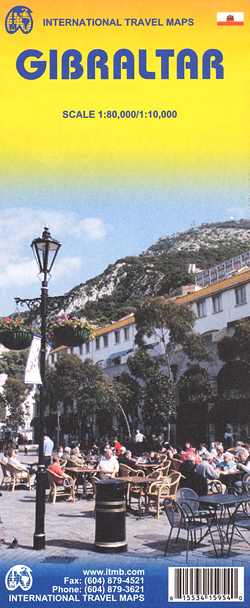
Gibraltar street plans at 1:10,000 from ITMB, with bright altitude colouring clearly showing the city’s famous topography, plus a map at 1:80,000 covering the European and the African side of the Straights of Gibraltar.Approximately a quarter of the whole sheet is taken by a street plan of Gibraltar at 1:10,000. Topography of the Rock of Gibraltar is shown by bright altitude colouring with numerous spot heights (given in metres). Many streets are drawn on the plan, but only the main ones are named. Coverage stops just short of the border crossing to Spain. Symbols mark locations of various places of interest, including selected accommodation and restaurants, etc. The rest of the sheet is taken by an indexed road map at 1:80,000 showing the Spanish and the Moroccan sides of the Straights of Gibraltar, including Ceuta. The map also has altitude colouring and in addition to the local road networks shows ferry routes between Tangier and Tarifa or Algeciras, and Ceuta and Algeciras.

Related Products:
 Gibraltar – Costa del Sol
 Straits of Gibraltar – Costa del Sol – Almerรญa 500K CNIG Regional Map No. 13
 M11 Gibraltar to Cabo De Gata and Morocco
 Iran & Tehran ITMB
 Sikkim & India Northeast ITMB
 Patagonia & Tierra del Fuego ITMB
 Ceuta CNIG Topo 1110-3
 Bhutan & Northeast India ITMB
 Pakistan ITMB
 San Francisco & Northern California ITMB
 Santiago & Chile North ITMB
 Jordan & Syria ITMB
 Zurich & Switzerland NW ITMB
 Tokyo & Central Japan ITMB
 Admiralty Chart Folio 24 – Strait of Gibraltar to Malta and Port Said
 SHOM Charts for Spain – Portugal – The Strait of Gibraltar – The Alboran Sea
 Romania & Moldova ITMB
 Barcelona & Catalonia ITMB
 Middle East ITMB Travel Atlas
 India North East & Kolkata / Calcutta ITMB
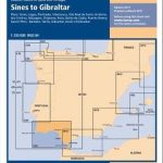 C50 Sines to Gibraltar
 Brisbane & Queensland ITMB
 Admiralty Chart 2717 – Strait of Gibraltar to Barcelona and Alger including Islas Baleares
 Czech Republic ITMB
 South America ITMB
 Angola ITMB
 Taiwan & Taipei ITMB
 Sao Paulo & Brazil South Coast ITMB
 Lima & Central Peru ITMB
 Mongolia ITMB
 Kenya ITMB
Sweden ITMB Railway & Road Map
Kenya ITMB
Sweden ITMB Railway & Road Map
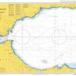 Admiralty Chart 773 – Strait of Gibraltar to Isla de Alboran
Lebanon & Beirut ITMB
Admiralty Chart 773 – Strait of Gibraltar to Isla de Alboran
Lebanon & Beirut ITMB
 Qatar and Doha City ITMB
 Quito & Central Ecuador ITMB
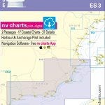 ES3 Spain, Cabo San Antonio to Gibraltar – 2018/19 Edition
 Jasper National Park & Northern Alberta ITMB
 Chad ITMB