Disclosure : This site contains affiliate links to products. We may receive a commission for purchases made through these links.
NOAA Chart 14815 – Rochester Harbor, including Genessee River to head of navigation
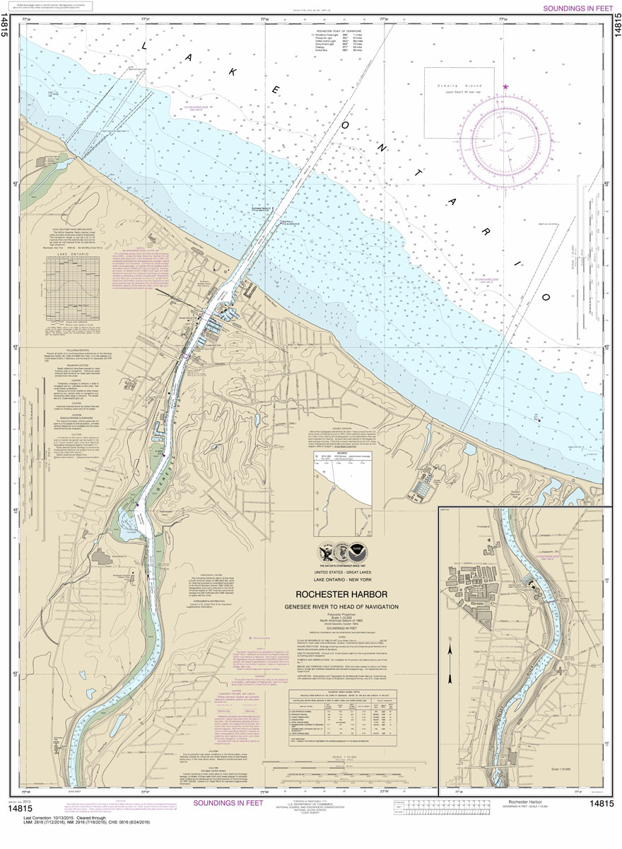
NOAA maintains the nautical charts and publications for U.S. coasts and the Great Lakes. Over a thousand charts cover 95,000 miles of shoreline and 3.4 million square nautical miles of waters.Printed on demand using the most up to date NOAA data and latest Notice to Mariners (NTMs) applied at time of print. Meets United States Coast Guard carriage requirements.Printed in house at Stanfords.
Related Products:
 NOAA Chart 13296 – Boothbay Harbor to Bath, Including Kennebec River
 NOAA Chart 14839 – Cleveland Harbor, including lower Cuyahoga River
 NOAA Chart 14829 – Geneva to Lorain (Metric) – Beaver Creek – Rocky River – Mentor Harbor – Chagrin River Harbor
 NOAA Chart 14918 – Head of Green Bay, including Fox River below De Pere – Green Bay
 NOAA Chart 11426 – Estero Bay to Lemon Bay, Including Charlotte Harbor – Continuation of Peace River
 NOAA Chart 13223 – Narragansett Bay, Including Newport Harbor
 NOAA Chart 13274 – Portsmouth Harbor to Boston Harbor – Merrimack River Extension
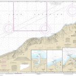 NOAA Chart 14965 – Redridge to Saxon Harbor – Ontonagon Harbor – Black River Harbor – Saxon Harbor
 NOAA Chart 13281 – Gloucester Harbor and Annisquam River
 NOAA Chart 18520 – Yaquina Head to Columbia River – Netarts Bay
 NOAA Chart 14825 – Ashtabula to Chagrin River – Mentor Harbor – Chagrin River Harbor
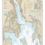 NOAA Chart 13224 – Providence River and Head of Narragansett Bay
 NOAA Chart 14852 – St. Clair River – Head of St. Clair River
 NOAA Chart 13227 – Fall River Harbor – State Pier
 NOAA Chart 13309 – Penobscot River – Belfast Harbor
 NOAA Chart 14863 – Saginaw Bay – Port Austin – Caseville Harbor – Sebewaing Harbor – Entrance to Au Sable River – Tawas Harbor
 NOAA Chart 12289 – Potomac River’”Mattawoman Creek to Georgetown – Washington Harbor
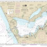 NOAA Chart 14934 – Muskegon Lake, including Muskegon Harbor
 NOAA Chart 13250 – Wellfleet Harbor – Sesuit Harbor
 NOAA Chart 12253 – Norfolk Harbor and Elizabeth River – Norfolk Inner Harbor
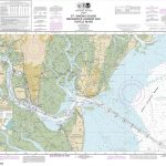 NOAA Chart 11506 – St. Simons Sound, Brunswick Harbor and Turtle River
 NOAA Chart 14975 – Duluth-Superior Harbor – Upper St. Louis River
 NOAA Chart 17430 – Tongass Narrows Including Ward Cove to Ketchikan Harbor
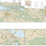 NOAA Chart 11355 – Intracoastal Waterway’”Catahoula Bay to Wax Lake Outlet, including the Houma Navigation Canal
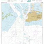 NOAA Chart 11447 – Key West Harbor
 NOAA Chart 19353 – Harbors of Moloka`i – Kamalo Harbor – Kaunakakai Harbor – Kolo Harbor – Lono Harbor – Puko`o Harbor
 NOAA Chart 12216 – Cape Henlopen to Indian River Inlet – Breakwater Harbor
 NOAA Chart 14811 – Chaumont, Henderson and Black River Bays – Sackets Harbor – Henderson Harbor – Chaumont Harbor
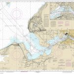 NOAA Chart 14884 – St. Marys River’”Head of Lake Nicolet to Whitefish Bay – Sault Ste. Marie
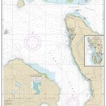 NOAA Chart 17384 – Wrangell Harbor and Approaches – Wrangell Harbor
 NOAA Chart 14969 – Munising Harbor and Approaches – Munising Harbor
 NOAA Chart 18521 – Columbia River’”Pacific Ocean to Harrington Point – llwaco Harbor
 NOAA Chart 14962 – St. Marys River to Au Sable Point – Whitefish Point Harbor – Little Lake Harbor – Grand Marais
 NOAA Chart 13279 – Ipswich Bay to Gloucester Harbor – Rockport Harbor
 NOAA Chart 14909 – Upper Green Bay – Detroit Harbor – Jackson Harbor – Baileys Harbor
 NOAA Chart 18456 – Olympia Harbor and Budd Inlet
 NOAA Chart 13006 – West Quoddy Head to New York
 NOAA Chart 18453 – Tacoma Harbor
 NOAA Chart 14835 – Erie Harbor
 NOAA Chart 14937 – Ludington Harbor


