Disclosure : This site contains affiliate links to products. We may receive a commission for purchases made through these links.
NOAA Chart 16476 – Sweeper Cove’”Finger and Scabbard Bays
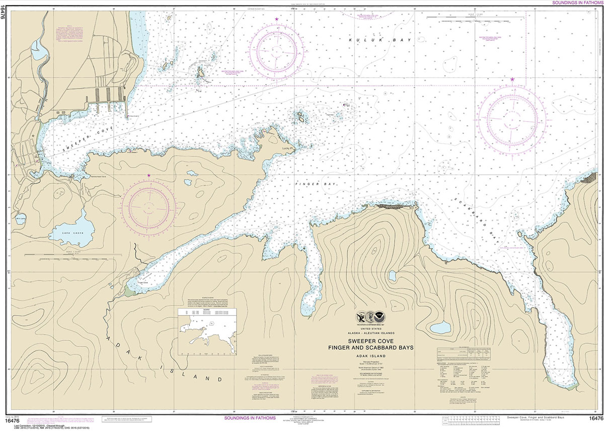
NOAA maintains the nautical charts and publications for U.S. coasts and the Great Lakes. Over a thousand charts cover 95,000 miles of shoreline and 3.4 million square nautical miles of waters.Printed on demand using the most up to date NOAA data and latest Notice to Mariners (NTMs) applied at time of print. Meets United States Coast Guard carriage requirements.Printed in house at Stanfords.
Related Products:
 NOAA Chart 17302 – Icy Strait and Cross Sound – Inian Cove – Elfin Cove
 NOAA Chart 16570 – Portage and Wide Bays
 NOAA Chart 16597 – Uganik and Uyak Bays
 NOAA Chart 11357 – Timbalier and Terrebonne Bays
 NOAA Chart 11389 – St. Joseph and St Andrew Bays
 NOAA Chart 17367 – Thomas, Farragut and Portage Bays’”Frederick Sound
 NOAA Chart 13312 – Frenchman and Blue Hill Bays and Approaches
 NOAA Chart 17318 – Glacier Bay – Bartlett Cove
 NOAA Chart 17335 – Patterson Bay and Deep Cove
 NOAA Chart 18602 – Pyramid Point to Cape Sebastian – Chetco Cove – Hunters Cove
 NOAA Chart 18502 – Grays Harbor – Westhaven Cove
 NOAA Chart 16382 – St. Paul Island – Village Cove
 NOAA Chart 17428 – Revillagigedo Channel’”Nichols Passage and Tongass Narrows – Seal Cove – Ward Cove
 NOAA Chart 18764 – San Clemente Island’”Pyramid Cove and Approaches
 NOAA Chart 18763 – San Clemente Island (northern part) – Wilson Cove
 NOAA Chart 17326 – Crawfish Inlet to Sitka – Sawmill Cove
 NOAA Chart 18473 – Puget Sound’”Oak Bay to Shilshole Bay – Appletree Cove
 NOAA Chart 16478 – Tagalak Island to Great Sitkin Island – Sand Bay’”Northeast Cove
 NOAA Chart 16511 – Inanudak and Nikolski Bays – River and Mueller Coves
 NOAA Chart 18643 – Bodega and Tomales Bays – Bodega Harbor
 NOAA Chart 17370 – Bay of Pillars’”Rowan Bay and Washington Bays – Washington Bay
 NOAA Chart 16436 – Shemya Island – Alcan Harbor – Skoot Cove
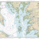 NOAA Chart 12230 – Chesapeake Bay’”Smith Point to Cove Point
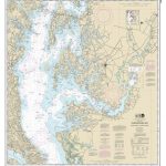 NOAA Chart 12263 – Chesapeake Bay’”Cove Point to Sandy Point
 NOAA Chart 12365 – South Shore of Long Island Sound’”Oyster and Huntington Bays
 NOAA Chart 16547 – Sanak Island and Sandman Reefs – Northeast Harbor – Peterson and Salmon Bays – Peterson and Salmon Bays
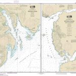 NOAA Chart 17363 – Pybus Bay’”Frederick Sound – Hobart and Windham Bays’”Stephens Passage
 NOAA Chart 17430 – Tongass Narrows Including Ward Cove to Ketchikan Harbor
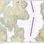 NOAA Chart 18446 – Puget Sound’”Apple Cove Point to Keyport – Agate Passage
 NOAA Chart 16549 – Alaska Peninsula’”Cold Bay and Approaches – King Cove Harbor
 NOAA Chart 18620 – Point Arena to Trinidad Head – Rockport Landing – Shelter Cove
 NOAA Chart 17337 – Harbors in Chatham Strait – Kelp Bay – Warm Spring Bay – Takatz and Kasnyku Bays
 NOAA Chart 13213 – New London Harbor and Vicinity – Bailey Point to Smith Cove
 NOAA Chart 11317 – Matagorda Bay, including Lavaca and Tres Palacios Bays – Port Lavaca
 NOAA Chart 13394 – Grand Manan Channel (northern part) (Metric) – Falls Island – North Head and Flagg Cove
 NOAA Chart 18757 – Santa Catalina Island – Avalon Bay – Catalina Harbor – Isthmus Cove
 NOAA Chart 12358 – New York’”Long Island, Shelter lsland Sound and Peconic Bays – Mattituck Inlet
 NOAA Chart 16599 – Kodiak Island’”Bays and Anchorages – Karluk Anchorage – Larsen Bay – Uyak Anchorage
 NOAA Chart 13293 – Damariscotta, Sheepscot and Kennebec Rivers – South Bristol Harbor – Christmas Cove
 NOAA Chart 16471 – Atka Pass to Adak Strait – Three Arm Bay – Kanaga Bay – Chapel Roads and Chapel Cove


