Disclosure : This site contains affiliate links to products. We may receive a commission for purchases made through these links.
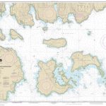
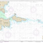
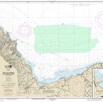
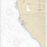
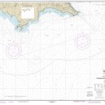
NOAA Chart 16043 – Barter Island and Approaches – Bernard Harbor
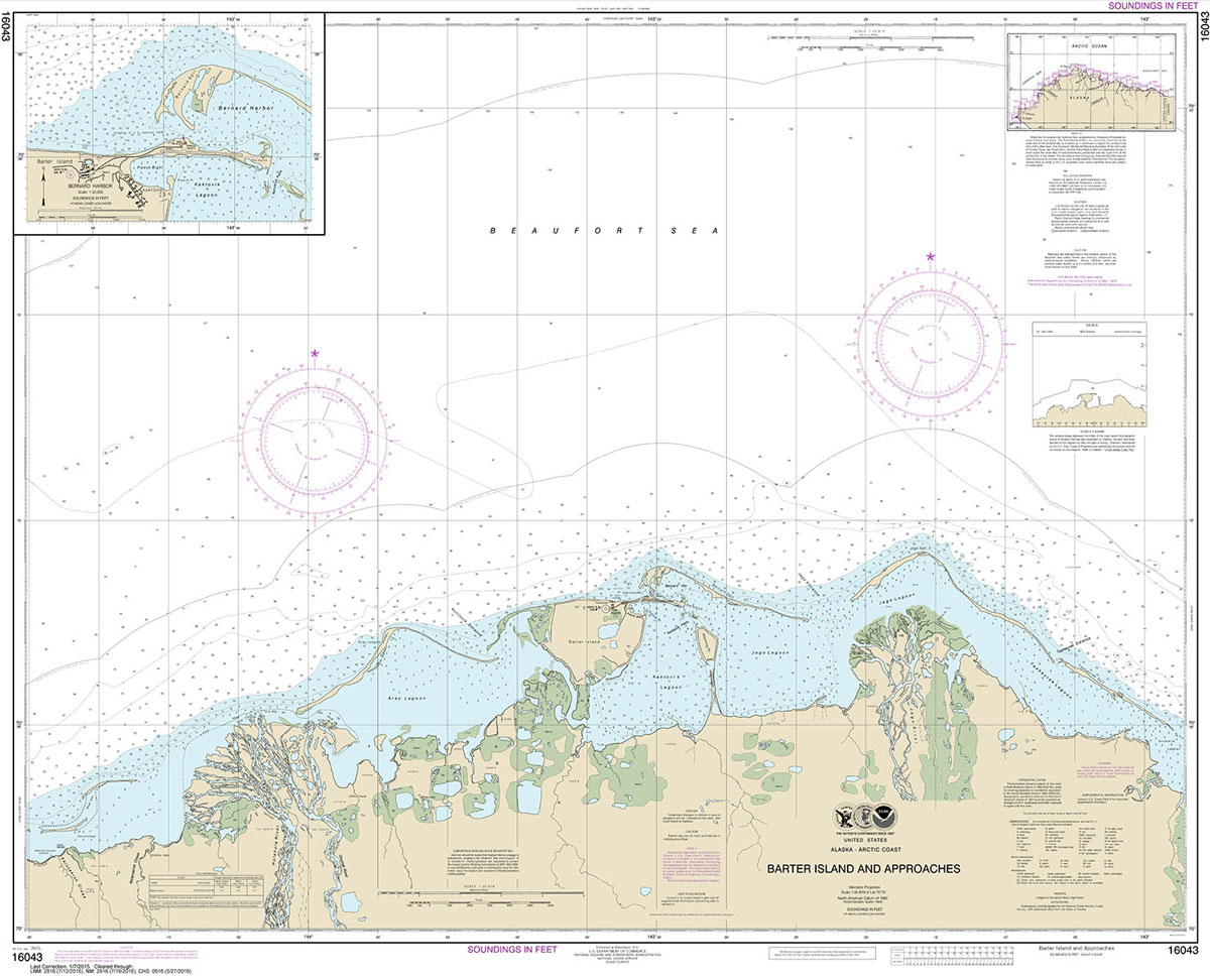
NOAA maintains the nautical charts and publications for U.S. coasts and the Great Lakes. Over a thousand charts cover 95,000 miles of shoreline and 3.4 million square nautical miles of waters.Printed on demand using the most up to date NOAA data and latest Notice to Mariners (NTMs) applied at time of print. Meets United States Coast Guard carriage requirements.Printed in house at Stanfords.

Related Products:
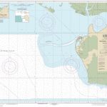
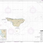
 NOAA Chart 19329 – Mahukona Harbor and Approaches’”Island of Hawai`i
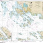
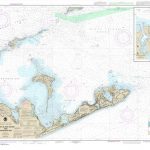
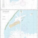
 NOAA Chart 17384 – Wrangell Harbor and Approaches – Wrangell Harbor
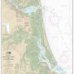
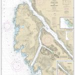
 NOAA Chart 14969 – Munising Harbor and Approaches – Munising Harbor
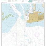
 NOAA Chart 11521 – Charleston Harbor and Approaches
 NOAA Chart 11441 – Key West Harbor and Approaches
 NOAA Chart 13232 – New Bedford Harbor and Approaches
 NOAA Chart 13321 – Southwest Harbor and Approaches
 NOAA Chart 16442 – Kiska Harbor and Approaches
 NOAA Chart 19367 – Island of O`ahu’”Honolulu Harbor
 NOAA Chart 19369 – South Coast of O`ahu’”Approaches to Pearl Harbor
 NOAA Chart 13323 – Bar Harbor’”Mount Desert Island
 NOAA Chart 13305 – Penobscot Bay – Carvers Harbor and Approaches
 NOAA Chart 12278 – Chesapeake Bay’”Approaches to Baltimore Harbor
 NOAA Chart 13212 – Approaches to New London Harbor
 NOAA Chart 19357 – Island of O`ahu – Barbers Point Harbor
 NOAA Chart 19342 – Kahului Harbor and Approaches – Kahului Harbor
 NOAA Chart 17327 – Sitka Harbor and Approaches – Sitka Harbor
 NOAA Chart 16161 – Kotzebue Harbor and Approaches – Kotzebue Harbor
 NOAA Chart 16206 – Nome Harbor and Approaches – Nome Harbor
 NOAA Chart 16441 – Kiska Island and Approaches
 NOAA Chart 13396 – Campobello Island (Metric) – Eastport Harbor
 NOAA Chart 13282 – Newburyport Harbor and Plum Island Sound
 NOAA Chart 16515 – Unalaska Island’”Chernofski Harbor to Skan Bay
 NOAA Chart 16480 – Amukta Island to Igitkin Island – Seguam Island’”Finch Cove – Amlia Island’”Sviechnikof Harbor
 NOAA Chart 13250 – Wellfleet Harbor – Sesuit Harbor
 NOAA Chart 13205 – Block Island Sound and Approaches
 NOAA Chart 19348 – Approaches to Lahaina Island of Maui
 NOAA Chart 16450 – Amchitka Island and Approaches (Metric)
 NOAA Chart 16381 – St. George Island – St. George Harbor
 NOAA Chart 12366 – Long Island Sound and East River’”Hempstead Harbor to Tallman Island
 NOAA Chart 13209 – Block Island Sound and Gardiners Bay – Montauk Harbor
 NOAA Chart 17303 – Yakobi Island and Lisianski Inlet – Pelican Harbor
 NOAA Chart 16436 – Shemya Island – Alcan Harbor – Skoot Cove
 NOAA Chart 18764 – San Clemente Island’”Pyramid Cove and Approaches
 NOAA Chart 83637 – Johnston Atoll – Johnston Island Harbor
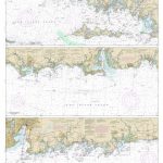 NOAA Chart 12372 – Long Island Sound’”Watch Hill to New Haven Harbor
 NOAA Chart 17382 – Zarembo Island and Approaches – Steamer Bay – Burnett Inlet’”Etolin Island
 NOAA Chart 11447 – Key West Harbor
 NOAA Chart 19353 – Harbors of Moloka`i – Kamalo Harbor – Kaunakakai Harbor – Kolo Harbor – Lono Harbor – Puko`o Harbor
 NOAA Chart 11373 – Mississippi Sound and Approaches Dauphin Island to Cat Island