Disclosure : This site contains affiliate links to products. We may receive a commission for purchases made through these links.
A Map of Medieval London: The City, Westminster and Southwark
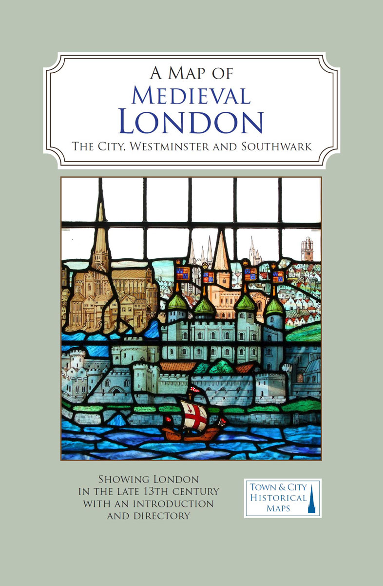
A full colour map showing London about 1270 to 1300 – its walls and gates, parish churches, early monasteries and hospitals, and a growing number of private houses. The city`s streets and alleyways had been established. Dominating London are the Tower of London in the east, the old St Paul`s Cathedral in the west and London Bridge in the south. Up-river in Westminster, the abbey and the royal palace had been well established, and the great Westminster Hall is very evident. London`s playground in Southwark was beginning to grow.


