Disclosure : This site contains affiliate links to products. We may receive a commission for purchases made through these links.
Costa Rica Travel Map
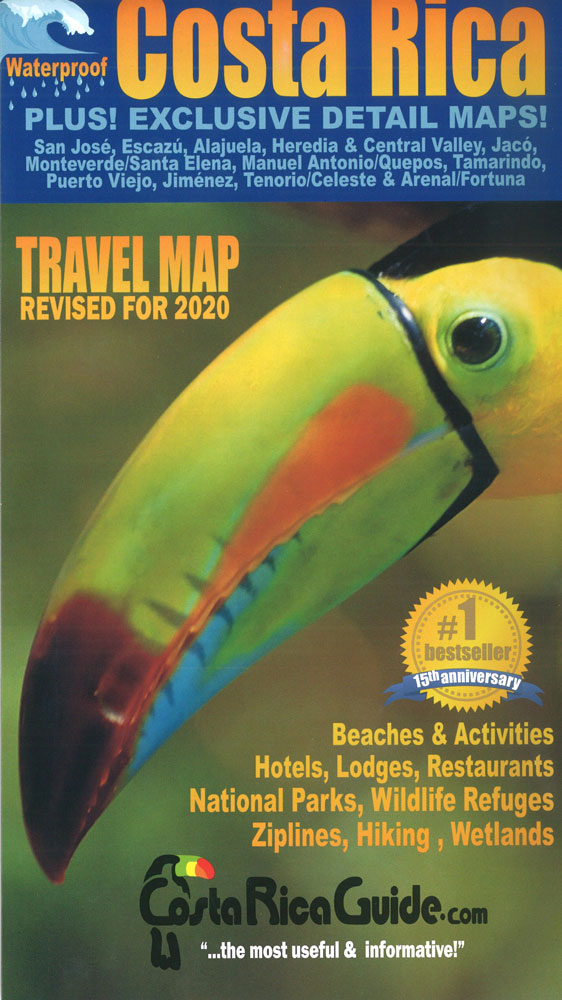
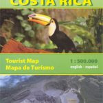
Costa Rica at 1:470,000 on a tourist map from Toucan Maps printed on light, waterproof and tear-resistant synthetic paper, with an exceptionally wide range of symbols presenting various places of interest, opportunities for recreational pursuits and tourist facilities, particularly in the country’s main towns and holiday resorts.On one side is a map of the whole country. Altitude colouring is too light to provide a good picture of the country’s topography, but symbols indicate numerous mountain peaks with their names and heights (in feet); swamps, mangroves, marshes, palm plantations, etc, are marked and national parks are highlighted. Road network emphasizes main paved roads but also includes secondary routes and seasonal 4WD tracks. Driving distances are marked on main routes. The map has latitude and longitude lines at intervals of 10’. A very extensive index has separate lists of towns/villages, beaches, parks/reserves/wildlife refuges, waterfalls, lakes, rivers, peaks, and volcanoes.Surrounding the country map and on the reverse side are enlargements and street plans of popular tourist destinations: a large panel presenting the Central Valley at 1:50,000 approx, with street plans of downtown San Josรฉ, Heredia, Escazรบ and Alajuela; Santa Elena – Monteverde area with a street plan of Santa Elena; Volcรกn Arenal area with a street plan La Fortuna; Tamarindo; and Manuel Antonio – Quepos area. All have lists of facilities and attractions highlighted on them. Other maps or street plans cover the Tenorio – Rio Celeste area with a plan of Bijagua, Puerto Viejo de Talamanca, Puerto Jimรฉnez, plus Playa Jacรณ.Both the main map (especially along the Pacific coast) and the enlargements/street plans are annotated, as appropriate, with a very wide range of symbols grouped by colour-coding into Conservation Areas (national parks, wildlife refuges, etc), Activities (over 50 different symbols), Lodging (hotels indicating price range, campgrounds), Food and Drink (several different types of restaurants, etc), Transportation, Services/Shopping, and Facilities.A separate list of major parks, reserves and nature refuges indicates what attractions and facilities can be found there. Also provided is a distance table.


