Disclosure : This site contains affiliate links to products. We may receive a commission for purchases made through these links.
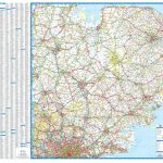
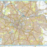
50 Miles Around Birmingham A-Z Wall Map
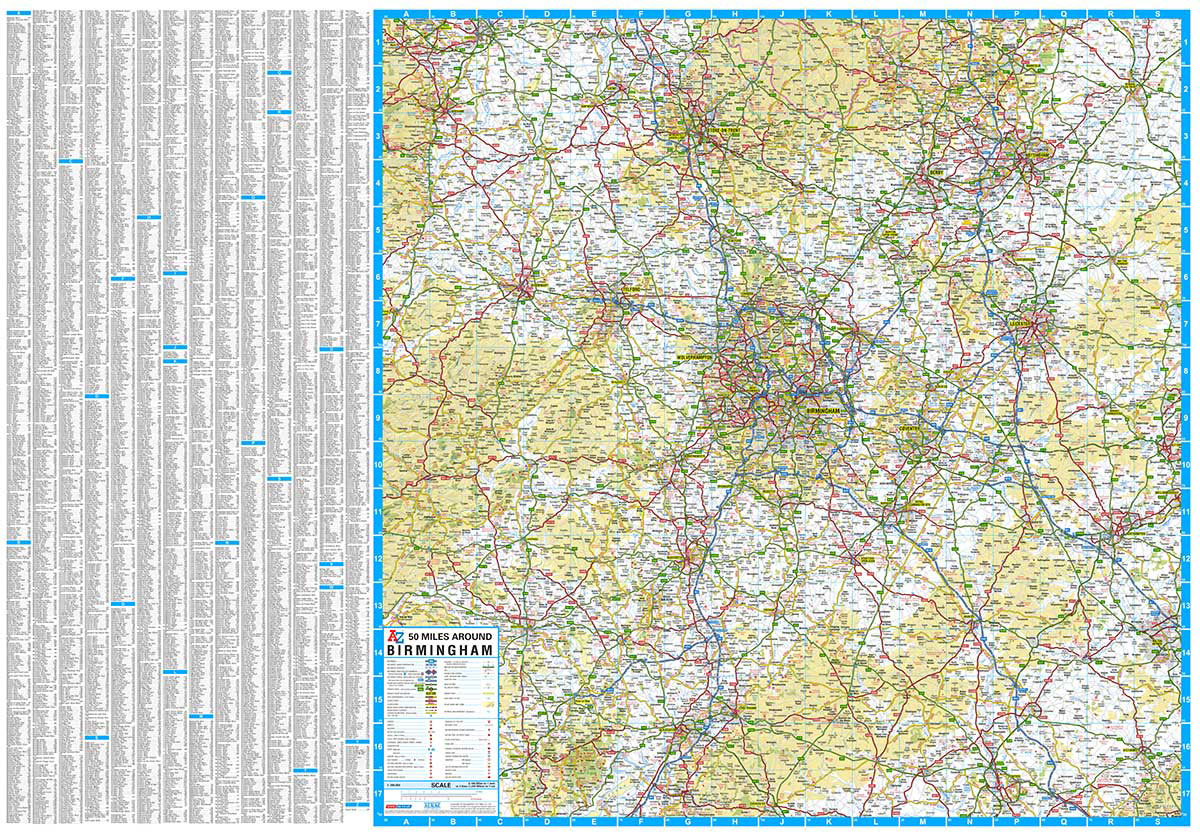
Regional wall map of 50 miles aournd Birmingham, at 1:200,000 (3.2 miles to 1inch) from A to Z, extending from central Birmingham to: Chester, Northampton, Milton Keynes, Aylesbury, Oxford, Cirencester, and Wrexham. Clear presentation of the road network shows motorways, A and B roads, some minor and local roads, with gradients of 1:5 and steeper indicated. Service stations, railway lines and stops, ferry terminals, and airports are clearly marked.Tourist information such as points of interest and local facilities are prominently highlighted with a variety of symbols. Topography is shown by altitude tints, if in rather broad bands, with spot heights (in feet) and additional colouring for woodland areas; the National Grid is overprinted on the cartography. National and unitary authority boundaries are indicated.

Related Products:
 50 Miles Around Bristol Wall Map PAPER
 Glasgow – Edinburgh & Central Scotland A-Z Wall Map PAPER
 Devon & Cornwall A-Z Wall Map PAPER
 East Anglia A-Z Wall Map
 Birmingham Greenways Cycle Map
 Great Britain: A-Z Five Miles to One Inch Wall Maps
 Saskatchewan ITMB
 Birmingham Canal Navigations Heron Map
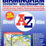 West Midlands – Birmingham – Coventry – Wolverhampton A-Z Street Atlas
 Manitoba ITMB
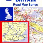
 Great Britain: A-Z Regional Wall Maps
 Birmingham – Dudley – Solihull – Walsall – Wolverhampton A-Z Big Street Atlas
 Birmingham – Walsall, Solihull & Redditch OS Explorer Map 220 (paper)
 Birmingham – Walsall, Solihull & Redditch OS Explorer Active Map 220 (waterproof)
 Kent A-Z Visitors` Wall Map
 Great Britain: Ordnance Survey Tour Maps
 Birmingham, Wolverhampton & The Black Country OS Landranger Map 139 (paper)
 Grand Union Canal – Birmingham to Milton Keynes Heron Maps
 50 Miles Around Bristol A-Z Map
 Birmingham, Wolverhampton & The Black Country OS Landranger Active Map 139 (waterproof)
 USA Michelin
 Birmingham A-Z Street Plan Wall Map
 Bhutan & Northeast India ITMB
 Anyksciai Regional Park Tourist Map
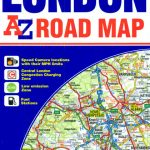 50 Miles Around London A-Z Map
Dzukija National Park
ลฝemaitija National Park
Aukลกtaitijos National Park
Grazute – Sartai Regional Parks Tourist Map
Curonian Spit National Park
50 Miles Around London A-Z Map
Dzukija National Park
ลฝemaitija National Park
Aukลกtaitijos National Park
Grazute – Sartai Regional Parks Tourist Map
Curonian Spit National Park
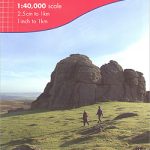
 Brecon Beacons Harvey British Mountain Map XT40
 Great Britain: A-Z Five Miles to One Inch Road Maps
 Tajikistan – The Pamirs Gizi Map Wall Map
 Pakistan ITMB
 Birmingham AL Rand McNally
 Uzbekistan Gizi Map Wall Map
 Bolivia ITMB
 Cairngorms & Lochnagar Harvey British Mountain Map XT40
 Walking the Grand Union Canal from London to Birmingham: 153 Mile Walk from the River Thames at Bentford to Gas Street Basin, Birmingham. Can be Done in 9 Stages
 Dartmoor Harvey British Mountain Map XT40