Disclosure : This site contains affiliate links to products. We may receive a commission for purchases made through these links.
2300 Dorset and Devon Coasts Chart Pack – 2019 edition
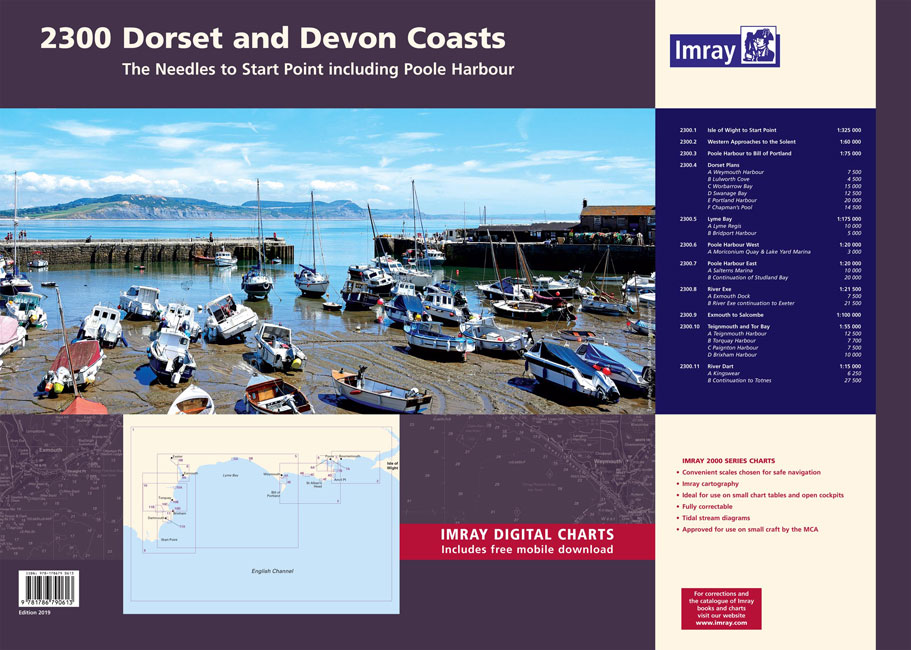
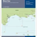
A pack of 9 charts for the Dorset and Devon coasts. The pack includes:2300.1 Isle of Wight to Start Point1: 325 000 WGS 842300.2 Western Approaches to the Solent1: 60 000 WGS 842300.3 Poole Harbour to Bill of Portland1: 75 000 WGS 842300.4 Dorset Plans1: various WGS 84Plans Weymouth Harbour, Lulworth Cove, Worbarrow Bay, Swanage Bay, Portland Harbour, Chapman’s Pool2300.5 Lyme Bay1: 175 000 WGS 84Plans Lyme Regis, Bridport Harbour2300.6 Poole Harbour West1: 20 000 WGS 84Plans Moriconium Quay & Lake Yard Marina2300.7 Poole Harbour East1: 20 000 WGS 84Plans Salterns Marina, Continuation of Studland Bay2300.8 River Exe1: 21 500 WGS 84Plans Exmouth Dock, River Exe continuation to Exeter2300.9 Exmouth to Salcombe1: 100 000 WGS 842300.10 Teignmouth and Tor Bay1: 55 000 WGS 84Plans Teignmouth Harbour, Torquay Harbour, Paignton Harbour, Brixham Harbour2300.11 River Dart1: 15 000 WGS 84Plans Kingswear, Continuation to TotnesOn this edition the latest depth surveys have been included. The River Dart chart has been reschemed to show larger scale coverage of Kingswear and Dartmouth. For this edition tidal stream information is included. There has been general updating throughout.Individual sheets of this atlas will no longer be sold separately. However, 1st edition charts of Y39, Y40 and Y41 have been published that replicate charts 2300.6 & 7, 2300.8 and 2300.10 respectively.

Related Products:
 ADMIRALTY Leisure Folio SC 5601 – East Devon & Dorset Coast
 2400 West Country Chart Pack – 2019 edition
 2200 Solent Chart Pack: Selsey Bill to Poole, Including the Isle of Wight – 2021 edition
 Imray UK small-format charts: 2300 series: Dorset & Devon Coasts
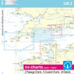 UK2 Start Point to Needles – 2019/20 Edition
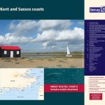 2100 Kent and Sussex Coasts Chart Atlas – 2021 edition
 2000 Suffolk and Essex Chart Atlas – 2018 edition
 C5 Bill of Portland to Salcombe Harbour
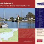 2110 North France Chart Atlas – Nord-Pas-de-Calais, Picardy and Normandy Coasts – 2017 edition
 2600 Bristol Channel Chart Atlas – 2016 edition
 Poole Harbour 2300.5 SUPERCEDED
 Y41 Teignmouth and Tor Bay – Laminated chart
 2800 Isle of Mull and Adjacent Coasts Chart Pack – 2012 edition
 Y39 Poole Harbour – Laminated
 Y39 Poole Harbour
 Y41 Teignmouth and Tor Bay
 Lyme Bay 2300.4
 2300 Greenland Eastcoast – Kap Poul Lovenorn to Kap Gustav Holm
 The Jurassic Coast – Lyme Regis to Poole Harbour – Classic Walks – South West Coast Path
 Admiralty Chart SC5600_4 – Lymington River – Continuation of Lymington River – Isle of Wight Yarmouth Harbour, River Yar
 Y43 River Dart
 Y40 River Exe – Laminated chart
 Admiralty Chart SC5602_7 – Fowey Harbour – River Fowey Mixtow to Saint Winnow – Continuation of River Fowey Saint Winnow to Lostwithiel
 Admiralty Chart SC5602_20 – Helford River – Helford River Continuation to Gweek – Continuation of River Fal. (Ruan Creek)
 Admiralty Chart SC5623_16 – Courtmacsherry Bay – Continuation of Argideen River
 Admiralty Chart SC5600_6 – Beaulieu River – Continuation of Beaulieu River – Isle of Wight, Newton River and Continuation
 Admiralty Chart SC5600_12 – Entrance to Portsmouth Harbour – Continuation of Forton Lake – Continuation of Stoke Lake
 Admiralty Chart SC5622_12 – Upper Harbour West – Continuation of River Lee to Cork
 Admiralty Chart SC5600_22 – River Medina – Continuation of River Medina – River Medina, Folly Point to Newport
 Admiralty Chart SC5607_13 – Continuation of River Crouch – Burnham-on-Crouch – Entrance to Walton Backwaters – Continuation to Battlesbridge
 South West Coast Path: Exmouth to Poole SUPERSEDED
 Admiralty Chart SC5623_13 – Baltimore Harbour – Continuation of the Sound
 Lost Lanes West Country: 36 Glorious bike rides in Devon, Cornwall, Dorset, Somerset and Wiltshire
 Admiralty Chart SC5602_3 – River Fal Saint Just Pool to Truro River – Continuations of Truro River, Tresillian River and Carnon River
 Admiralty Chart SC5600_9 – River Hamble to Cowes – Continuation to Hythe
 Admiralty Chart SC5616_21 – Approaches to Castle Bay
 Admiralty Chart SC5600_14 – Portsmouth Harbour, Approaches to Fareham Lake – Continuation of Fareham Lake
ADMIRALTY Leisure Folio SC 5602 – Falmouth to Teigmouth
Admiralty Chart SC5600_14 – Portsmouth Harbour, Approaches to Fareham Lake – Continuation of Fareham Lake
ADMIRALTY Leisure Folio SC 5602 – Falmouth to Teigmouth
 Admiralty Chart SC5607_12 – Rivers Crouch and Roach – Continuation of the River Roach
 Admiralty Chart SC5607_6 – Approaches to Harwich and Woodbridge Haven – Continuation of River Deben