Disclosure : This site contains affiliate links to products. We may receive a commission for purchases made through these links.
1803 Westerschelde
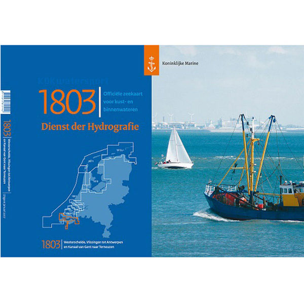
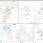
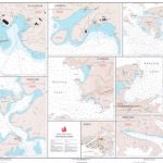
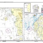
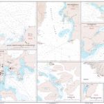
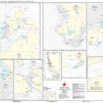
Netherlands Hydrographic Office Small Craft Charts. The 1800 series charts are produced by the Netherlands Hydrographic Office for smaller SOLAS shipping (Safety Of Life At Sea) and recreational purposes. The series consist of 8 atlases with an average of 9 charts (loose-leaf) within each set. The charts cover the Netherlands and Belgian coasts, the Wadden Sea, the IJsselmeer and the Zeeland delta area. Each atlas contains an overall chart of the coverage as well as area enlargements at large scale with plans. They are essential to navigators entering Dutch waters and onward to the inland waterways system. This chart is no longer published annually but at intervals.

Related Products:
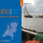 1810 IJsselmeer & Randmeren
 1811 Waddenzee West
 Admiralty Chart 116 – Approaches to the Westerschelde
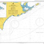 Admiralty Chart 1803 – Hokkaido South East Coast
 Admiralty Chart 128 – Westerschelde, Baalhoek and Wintam
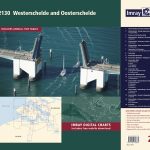 2130 Westerschelde and Oosterschelde Chart Atlas – 2019 edition
 Admiralty Chart 2449 – Dover Strait to Westerschelde
 Admiralty Chart 1874 – Westerschelde Oostende to Westkapelle
 Admiralty Chart 120 – Westerschelde, Vlissingen to Baalhoek and Terneuzen; Gent Canal
 Admiralty Chart 8012 – Zeebrugge with Approaches to Westerschelde Port Approach Guide
 Chart Atlases for the Netherlands
 Admiralty Chart 126 – North Sea, Netherlands, Approaches to Den Helder
 Netherlands Cruising Guide
 NP5011 Symbols and Abbreviations used on Admiralty Charts – 8th Edition
 2351 Greenland Eastcoast – Harbour Plans – Tasiilaq, Kulusuk, Kungmit
 1551 Greenland Westcoast – Harbour Plans
 1552 Greenland Westcoast – Harbour Plans
 CUBA CK8 – Sailing in Cuban Waters
 1151 Greenland Westcoast – Harbour Plans – Umiarsualiviit assingi
 92 Skagerrak
 2250 Greenland Eastcoast – Harbour Plans
 1462 Greenland Westcoast – Harbour Plans
 1550 Greenland Westcoast – Harbour Plans
 1451 Greenland Westcoast – Harbour Plans – Agto, Faeringe Nordhavn, Holsteinsborg
1352 Greenland Westcoast – Harbour Plans
1451 Greenland Westcoast – Harbour Plans – Agto, Faeringe Nordhavn, Holsteinsborg
1352 Greenland Westcoast – Harbour Plans
 1251 Greenland Westcoast – Harbour Plans
 1351 Greenland Westcoast – Harbour Plans
 2750 Greenland Eastcoast – Harbour Plans
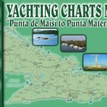 CUBA CK5 – Punta Maisi to Punta Maternillos
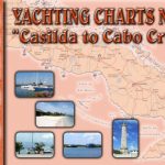 CUBA CK3 – Bahia de Casilda to Cabo Cruz
 2650 Greenland Eastcoast – Harbour Plans – Amdrup Havn, Kap Tobin, Nordre Aputiteq
 189 Baltic Sea – Bornholmsgat
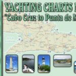 CUBA CK4 – Cabo Cruz to Punta Maisi
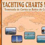 CUBA CK2 – Cabo Corrientes Bahia de Casilda
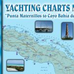 CUBA CK6 – Punta Maternillos to Bahia de Cadiz
 1150 Greenland Westcoast – Harbour Plans
 123 Kattegat – Laeso Rende
 1650 Greenland Westcoast – Harbour Plans
 116 Kattegat – Isefjord
 CUBA CK1 – Marlin Marina Hemingway to Cabo Corrientes