Disclosure : This site contains affiliate links to products. We may receive a commission for purchases made through these links.
Disclosure : This site contains affiliate links to products. We may receive a commission for purchases made through these links.
Categories
-
Best Sellers
-

Middle East Wall Map
Political wall map of the Middle East from Gizi Maps with administrative subdivisions of the countries and large amount of topographic information. Coverage extends from Turkey Read More » -

Liverpool Princes Park 1905
Liverpool Princes Park in 1905 in a fascinating series of reproductions of old Ordnance Survey plans in the Alan Godfrey Editions, ideal for anyone interested in Read More » -
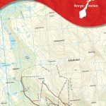
ร…re Nordeca 10092
Map No. 10092, ร…re, in the new topographic survey of Norway at 1:50,000 covering the country on 195 double-sided sheets and first published by Nordeca in Read More » -
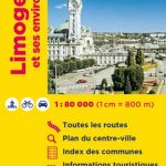
Limoges and its Environs IGN Map
Limoges and its Environs in a series of detailed road maps at 1:80,000 from the IGN, designed to highlight places of interest and recreational possibilities, with Read More » -

Beyond the Sky: You and the Universe
UK and Ireland`s best-loved comedian Dara O Briain takes you on a journey from the safety of your comfiest chair to the furthest reaches of space Read More » -

Tales of Persuasion
Ten daring stories from `a writer who seems capable of anything` (Guardian), the Booker Prize-shortlisted Philip Hensher Backdrops vary in this collection of stories from the Read More » -

Geneva & Switzerland ITMB
Double-sided map from ITMB presenting on one side a clear, indexed street plan of Geneva with a diagram of its tram network, plus on the reverse Read More » -
Crickhowell & Llangattock 1903
Crickhowell and Llangattock in 1903 in a fascinating series of reproductions of old Ordnance Survey plans in the Alan Godfrey Editions, ideal for anyone interested in Read More » -
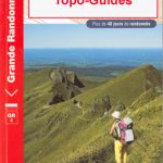
Pyrรฉnรฉes Ariรฉgeoises – La traversรฉe des Pyrรฉnรฉes et tours du Val du Garbet et du Biros GR10
Pyrรฉnรฉes Ariรฉgeoises, FFRP topoguide, Ref. No. 1090, covering the third section of the GR10 along the Pyrenees from the Atlantic to the Mediterranean ‘“ a 335-km Read More » -

Armagh – Down – Louth – Meath – Monaghan OSI Discovery 36
Map No. 36, Louth in the Discovery series from the OSI, the Ordnance Survey of Ireland, which presents the country on detailed topographic maps at 1:50,000, Read More »
-


