Disclosure : This site contains affiliate links to products. We may receive a commission for purchases made through these links.
ล marna Gora – Raลกica Pocket Map
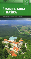
ล marna Gora – Raลกica recreational area just north of Ljubljana on a handy size pocket map from Kartografija. On one side is a GPS compatible topographic map at 1:25,000 of the area between Menges and Medvode overprinted with hiking trails, cycling routes and other tourist information including hotels, campsites and mountain huts, inns, recreational facilities, petrol stations on local roads, etc. Topography is shown by contours at 20m intervals with relief shading and colouring for woodlands. The map has latitude and longitude lines at 2’ intervals. Map legend includes English. On the reverse the area of ล marna Gora is shown in greater detail enlarged to 1:12,500. The reverse side also has a panorama of the Slovenian Alps from Triglav to Rogatec, plus descriptions in Slovenian of the region’s main attractions and the hiking routes highlighted on the map.To see othet titles in this series please click on the series link.

Related Products:
 Triglav Pocket Map
 Kranjska Gora Kartografija WATERPROOF Hiking Map
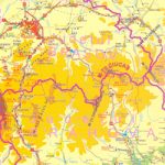
 Sredna Gora
 Fruลกka Gora National Park
 Bled Pocket Map
 Triglav – Kranjska Gora – Bohinj
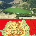
 Postavarul and Piatra Mare Mountains
 Cindrel Mountains
 Ciucas Mountains
 Julian Alps West Kartografija Tourist Map
 Donousa 15K Terrain Editions Pocket Map
 Heraklia 15K Terrain Editions Pocket Map
 Kimolos & Polyaigos 25K Terrain Editions Pocket Map
 Koufonisia 15K Terrain Editions Pocket Map
 Triglav Slovenian Alpine Club 25K Map
 Ljubljana and Environs Kartografija Tourist Map
 Posavsko Hribovje Kartografija Tourist Map
 Primorska Kartografija Tourist Map
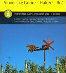 Stajerska – Slovene Hills – Haloze – Boc Kartografija Tourist Map
 Western Cape Map Studio Pocket Map
 Kamnik-Savinja Alps – Slovenian Carinthia
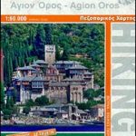 Mount Athos
 Retezat Mountains
 Triglav National Park Kartografija WATERPROOF Hiking Map
 Grintovci Slovenian Alpine Club 25K Map
 Kea / Tzia Terrain Editions 301
 Naxos & Small Cyclades Anavasi 10.28
 Jalovec and Mangart Slovenian Alpine Club 25k Map
 Brac Island
 Kootenay National Park Gem Trek Map
 Retezat Mountains Bel Alpin Tourist Map
 Polhograjsko Hribovje Slovenian Alpine Club 25K Map
 Lesbos Geopsis 211
 Notranjski Kras – Brkini – Dolenjska – Bela Krajina Kartografija Tourist Map
 Karpathos – Kasos Terrain Editions 345
 Astypalaea / Astypalaia Terrain Editions 330
 The Hills of Siena & Bosco di Lecceto 25K Ed. Multigraphic Map No. 509
 Ljubljana and Environs Slovenian Alpine Club 50K Map