Disclosure : This site contains affiliate links to products. We may receive a commission for purchases made through these links.
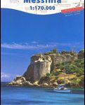
Messinia Anavasi 17
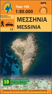
Messinia province on a waterproof and tear-resistant map at 1:80,000 in a series from Anavasi presenting selected popular areas of central mainland Greece and the Peloponnese on GPS compatible, detailed topographic road maps.The map has contours at 100m intervals, enhanced by relief shading and altitude colouring. Road network includes minor unsurfaced roads, indicating those in poor condition. Intermediate distances are marked on main and secondary routes. Archaeological or historical sites and other places of interest are highlighted, with symbols marking mountain refuges, campsites, beaches, etc. Ten best sights have photos and brief descriptions. Names of town, villages, and most geographical features and places of interest are in both Greek and Latin alphabet. The map has both UTM grid lines and ticks plus crosshairs for latitude and longitude lines at1’ intervals. Map legend includes English. The index is on the detachable map cover.


