Disclosure : This site contains affiliate links to products. We may receive a commission for purchases made through these links.
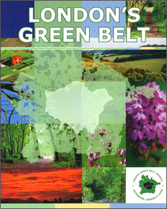
London`s Green Belt

Folded version of the London’s Green Belt map, with a detailed and informative presentation of the environs of the capital, highlighting the areas designated as the Green Belt, Areas of Outstanding Natural Beauty, local or national Nature Reserves, plus selected points of interest.The base map, provided by Geographers` A-Z Map Company, shows the road network highlighting the motorways and primary routes. Also marked are the boundaries of Greater London, districts or borough councils, and parliamentary constituencies. Superimposed on the base map is colouring and/or graphics indicating the Green Belt, Areas of Outstanding Natural Beauty, local and national Nature Reserves, and land over 120m (approx. 400 feet). A range of symbols highlight selected points of interest, including tourist/visitor information centres, historic buildings, religious heritage, gardens and wildlife parks, country and amusement parks, viewpoints, etc. The map has the lines of the British National Grid. Accompanying notes provide a brief history of the Green Belt in and around London. The map is printed on light, waterproof and tear-resistant synthetic paper.Coverage, clockwise from north-west, approx: Milton Keynes, Walden, Chelmsford, Southend-on Sea, Ashford, Tunbridge Wells, Haywards Heath, Reading and Thame.PLEASE NOTE: this title is also available as a wall map.


