Disclosure : This site contains affiliate links to products. We may receive a commission for purchases made through these links.
Krakรณw and Neighbourhood for Tourists
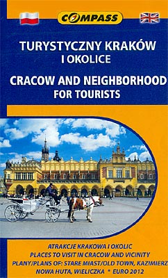
Cracow and Neighbourhood for Tourists map from Compass providing an excellent combination of street plans and maps for those who wish to explore both the city itself and the various sights of the surrounding region.On one side are the street plans: the city including its outer districts at 1:15,000, with tram and bus lines shown with stops and route numbers. Various facilities and places of interest are highlighted, as are waymarked hiking trails and cycle routes. The city’s historic centre and the surrounding area including the old Jewish quarter of Kazimierz are shown in greater detail on a separate panel, with 18 main sights highlighted by drawings cross-referenced to the accompanying list. Also marked are seven recommended sightseeing routes.For those who wish to explore further afield the map also offers:- Street plans of Nova Huta, Poland’s premier new town from the communist era regarded by many as very fine example of this type of urban development (England trained here during Euro 2012), plus Wieliczka with its famous salt mine.- An overview map at 1:75,000 of the city’s immediate environs, showing access to the international airport, Nova Huta and Wieliczka.- A road map at 1:200,000 showing a wider region around Cracow, including Auschwitz, the UNESCO World Heritage Site at Kalwaria Zebrzydowska, Ojcowski Park Narodowy – one of Poland’s smallest but most beautiful national parks, etc.Both maps prominently highlight numerous places of interest. 18 of the city’s and the region’s best sights are provided with informative bilingual Polish/English descriptions.


