Disclosure : This site contains affiliate links to products. We may receive a commission for purchases made through these links.
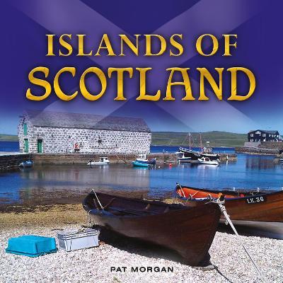
Islands of Scotland
Related Products:
 Take the Slow Road: Scotland: Inspirational Journeys Round the Highlands, Lowlands and Islands of Scotland by Camper Van and Motorhome
 A Taste of Scotland`s Islands
 Admiralty Chart Folio 6 – North and South Coasts of Scotland From Lewis to Firth of Forth incl. Orkney and Shetland Islands
 Journey to the Western Islands of Scotland
 Scotland: Highlands, Islands, Lochs & Legends
 Scotland`s Islands: A Special Kind of Freedom
 Lonely Planet Scotland`s Highlands & Islands
 Scotland Highlands & Islands Footprint Handbook
 A Journey to the Western Islands of Scotland and the Journal of a Tour to the Hebrides
 Northern Scotland, Orkney & Shetlands Islands, and the Hebrides c.1900
 Scottish Island Bagging: The Walkhighlands Guide to the Islands of Scotland
 A Description of the Western Islands of Scotland, Circa 1695: A Voyage to St Kilda
 CCC Orkney and Shetland Islands: Including North and Northeast Scotland – Edition 2
 Admiralty Chart 2524 – Islands off the North West Coast of Scotland
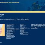 ADMIRALTY Leisure Folio SC 5616 – Scotland West Coast, Point of Ardnamurchan to Shiant Islands
 Scotland Collins Pocket Map – The perfect way to explore Scotland
 Treasured Islands: The explorer`s guide to over 200 of the most beautiful and intriguing islands around Britain
 Admiralty Chart 685 – Banana Islands to Turtle Islands
 Before Scotland: The Story Of Scotland Before History
 Wildlife Awareness Manual: Antarctic Peninsula, South Shetland Islands, South Orkney Islands
 The Traveller`s Guide to Sacred Scotland: A Guide to Scotland`s Ancient Sites and Sacred Places
 NGA Chart 81145 – Palau Islands Northern Part [West Caroline Islands]
 Naxos Theseus & Ariadne Greek Islands: All You Need to Know About the Islands Myths, Legends, and its Gods
 Iberian Peninsula – Balearic Islands – Canary Islands CNIG Physical Wall Map
 NOAA Chart 16540 – Shumagin Islands to Sanak Islands – Mist Harbor
 Admiralty Chart 4629 – Samoa Islands to Northern Cook Islands and Tokelau
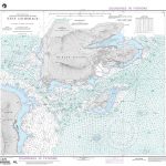 NGA Chart 81329 – Eten Anchorage [Caroline Islands – Truk Islands]
 Admiralty Chart 4630 – Samoa Islands to Southern Cook Islands
 Admiralty Chart 3200 – Falkland Islands to South Sandwich Islands and Graham Land
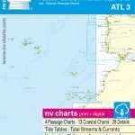 ATL3 Atlantic Islands: Azores, Madeira, Canary Islands, Cape Verde – 2018/19 Edition
 NOAA Chart 81092 – Commonwealth of the Northern Mariana Islands’”Pagan Island – Maug Islands
 NOAA Chart 530 – North America West Coast’”San Diego to Aleutian Islands and Hawai’ian Islands
 NGA Chart 29106 – Plans on the Ant. Penn. and Adj. Islands-Melchoir Islands
 NGA Chart 81345 – Mortlock Islands, East Caroline Islands
 Admiralty Chart 4445 – Jolo Islands to Basilan Islands
 NOAA Chart 530 – San Diego to Aleutian Islands and Hawai’ian Islands
 NZ14629 Samoa Islands to Northern Cook Islands and Tokelau
 Admiralty Chart PNG398 – Tulun Islands to Tanga Islands
 NGA Chart 81338 – Truk Islands [Caroline Islands]
 NZ14630 Samoa Islands to Southern Cook Islands


