Disclosure : This site contains affiliate links to products. We may receive a commission for purchases made through these links.
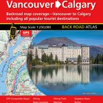
Fraser Valley and Vancouver ITMB
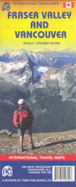
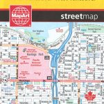
Double-sided map from ITMB combining coverage of the south-western tip of British Columbia at 1:250,000 with a more detailed road map of the Vancouver conurbation. On one side is a road map covering the area from Vancouver northwards to Whistler and eastwards beyond the Fraser Valley to Princeton. The map has altitude colouring with spot heights and names of mountain ranges. Road network includes 4WD tracks, distinguishing between dry season only and all weather routes. A wide range of symbols highlight various recreational areas for hiking, mountaineering, horse riding, mountain biking, etc., campgrounds and RV sites, selected hotels, etc. The map has margin ticks at 15’ intervals and an index of localities. On the reverse is a more detailed map at 1:50,000 showing main roads across the Vancouver conurbation, including North and West Vancouver, and extending eastwards along the Fraser River to Langley, Maple Ridge and Port Coquitlam. Also included are a small street plan of downtown Vancouver and a detailed plan of the Whistler Village, both indicating various facilities and places of interest.To see other titles in this series please click on the series link.


