Disclosure : This site contains affiliate links to products. We may receive a commission for purchases made through these links.
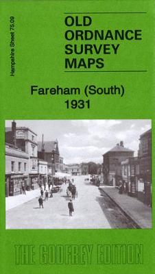
Fareham (South) 1931 – 75.09
Related Products:
 Fareham (North) & Wallington 1931 – 75.05
 Eastleigh (South) 1931 – 57.12b
 Admiralty Chart SC5600_14 – Portsmouth Harbour, Approaches to Fareham Lake – Continuation of Fareham Lake
 Fareham, Hambledon and Havant 1894
 Southsea 1931 – 83.12c
 Manchester (NE) 1931 – 104.07c
 Old Trafford 1931 – 104.13c
 Meon Valley, Portsmouth, Gosport & Fareham OS Explorer Map OL3 (paper)
 Old Portsmouth & Gosport 1931 – 83.11c
 Alverstoke & Stokes Bay 1931 – 83.10
 Gosport (West) 1931 – 83.06
 Central Portsmouth 1931 – 83.08c
 Lymington (East) 1931 – 88.03
 Eastleigh (North) 1931 – 57.08b
 Southampton (West) 1931 – 65.10b
 Southampton Docks 1931 – 65.15b
 Pendleton (North) 1931 – 104.01c
 Newton Heath 1931 – 104.04c
 Meon Valley, Portsmouth, Gosport & Fareham OS Explorer Active Map OL3 (waterproof)
 Portsmouth (Hilsea & Tipner) 1931 – 75.16
 Southhampton (Millbrook & Redbridge) 1931 – 65.05
 Southampton NW (Shirley & Freemantle) 1931 – 65.06
 Southampton (Upper Shirley) 1931 – 65.02
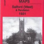 Salford (West) & Pendleton 1931 – 104.05c
 Manchester (NW) & Central Salford 1931 – 104.06c
 Manchester (Harpurhey & Collyhurst) 1931 – 104.03c
 Portsea & Portsmouth Dockyard 1931 – 83.07c
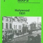 Holywood 1931
 The Falls 1931 – 60.12
 Central Belfast 1931 – 61.09
 Furness Abbey 1931
 South Africa: Map Studio Pocket Maps of South African Provinces
 Admiralty Chart Folio 72 – New Zealand ‘“ South Island, South of Cook Strait incl. Macquaire and other off-lying islands
 Admiralty Chart Folio 96 – East Coast of South America – Punta Piedras to Puerto Gallegos incl. Falkland Islands, South Georgia
 Wildlife Awareness Manual: Antarctic Peninsula, South Shetland Islands, South Orkney Islands
 Admiralty Chart Folio 35 – Eastern South Atlantic Ocean, South Africa and Southern Ocean
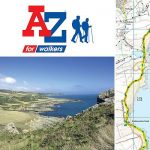 South West Coast Path 4 – South Devon Adventure Atlas
 South West Coast Path 3 – South Cornwall A-Z Adventure Atlas
 South West England & South Wales Administrative Boundary Wall Map
 Walking the South West Coast Path: National Trail From Minehead to South Haven Point


