Disclosure : This site contains affiliate links to products. We may receive a commission for purchases made through these links.
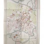
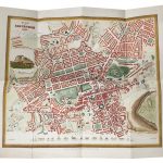
Cambridge 1895

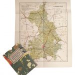
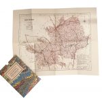
Surrey in a series of cloth-backed reproductions from the Old Folding Maps of county maps published in late 19th century by Letts, Son & Co, with colouring and symbols providing a wealth of information, including towns where County Courts and Quarter Sessions are held, municipal boroughs, parliamentary county and borough boundaries with the number of returnable Members, etc.Letts county maps present each county with colouring indicating its parliamentary divisions and show a large number of smaller towns and villages. Railways are prominently highlighted; on roads ‘dangerous hills” are marked. Other information includes distance from London of main towns, market days, post towns, coast guard and life boat stations, etc. Each title also gives county statistics: population, area in acres, gross rental, inhabited houses, poor rate, and the number of paupers (!). Where appropriate, hachures are used to show the topography. The area outside the county boundary is not coloured but main towns plus road and rail connections are marked. Each map is backed onto cloth and presented folded in a colourful case covered with a unique design marbled paper.To see the list of all the titles in this series please click on the series link.


