Disclosure : This site contains affiliate links to products. We may receive a commission for purchases made through these links.
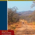
Botswana Tracks4Africa
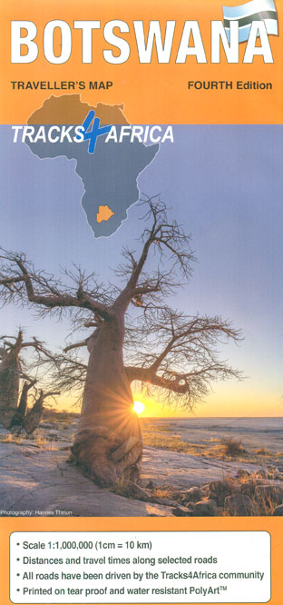
Botswana at 1:1,000,000 on a large, waterproof and tear-resistant map from Tracks4Africa, with roads and tracks showing both driving times and distances, plus on the reverse GPS compatible enlargements of eight most visited protected area and/or towns and extensive advice about driving in Botswana.On one side is a map of the whole country at 1:1M, with the easternmost tip including the Tuli Game Reserve as an inset but enlarged to 1:500,000. Coverage includes most of Namibia’s Zambezi Region (previously the Caprivi Strip) and the Livingstone / Victoria Falls area. For independent travellers the map provides a detailed picture of Botswana’s road network, with grading into eight categories indicating unpaved roads off-road tracks. Virtually all the routes are annotated with both distances and driving times and the map also indicates locations of fuel supplies and car repair facilities. Entry gates to protected areas are marked and international border crossings show their opening times. Railway lines are included and the map indicates access by air transport. A very wide range of symbols provides further information including various types of tourist accommodation, visitor information points, recreational sites, historical and nature places of interest, etc. Landscape is shown by colouring for parks and reverses, swamps and salt pans. The map has latitude and longitude lines at 2ยบ intervals.The main map indicates which areas are presented on the reverse in greater detail: sections of the Moremi Game Reserve, Khwai East and Kwai West (all at 1:50,000), Savuti area of the Chobe National Park (1:70,000), plus Mabuasehube area of the Kgalagadi Transfrontier Park (1:150,000). Each of these panels includes further enlargement(s) for its main tourist accommodation area(s). Also provided are three city maps: Gaborone with access to the Sir Seretse Khama International Airport, Maun with enlargements for the town centre and for the airport area, plus Kasane. All the panels have latitude and longitude lines at 3’ intervals. The reverse side also includes a comprehensive distance-cum-driving times table, plus extensive notes and tourist tips on various aspects of visiting and driving in Botswana.


