Disclosure : This site contains affiliate links to products. We may receive a commission for purchases made through these links.
Baja California ITMB
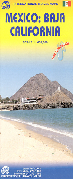
Baja California at 1:650,000 from ITMB on a waterproof and tear-resistant, indexed map, with street plans of central Tijuana, Mexicali, Ensenada, La Paz, San Jose del Cabo and Cabo San Lucas, plus historical notes and tourist information.The map is double-sided, dividing the peninsula north/south with a good overlap between the sides and also covers a part of the Sonora coast. Altitude tinting portrays the relief, with spot heights given for major peaks. Deserts, swamps and mangroves and areas liable to flooding are indicated; national parks/reserves are highlighted are marked. Road detail includes local tracks, locations of selected petrol stations, and intermediate driving distances. Railways are included and the map shows airports and airstrips. Symbols indicate various places of interest including missions, beaches, sport and recreational locations, campgrounds and campsites, etc. International date lines are included and latitude / longitude lines are at 1ยบ intervals. The map has an index of localities and includes insets with street plans listed above, all showing selected accommodation and places of interest. The map is also annotated with plenty of information about the area and its history, including driving tips.This title is part of a series of detailed touring maps of Mexico published by ITMB.


