Disclosure : This site contains affiliate links to products. We may receive a commission for purchases made through these links.
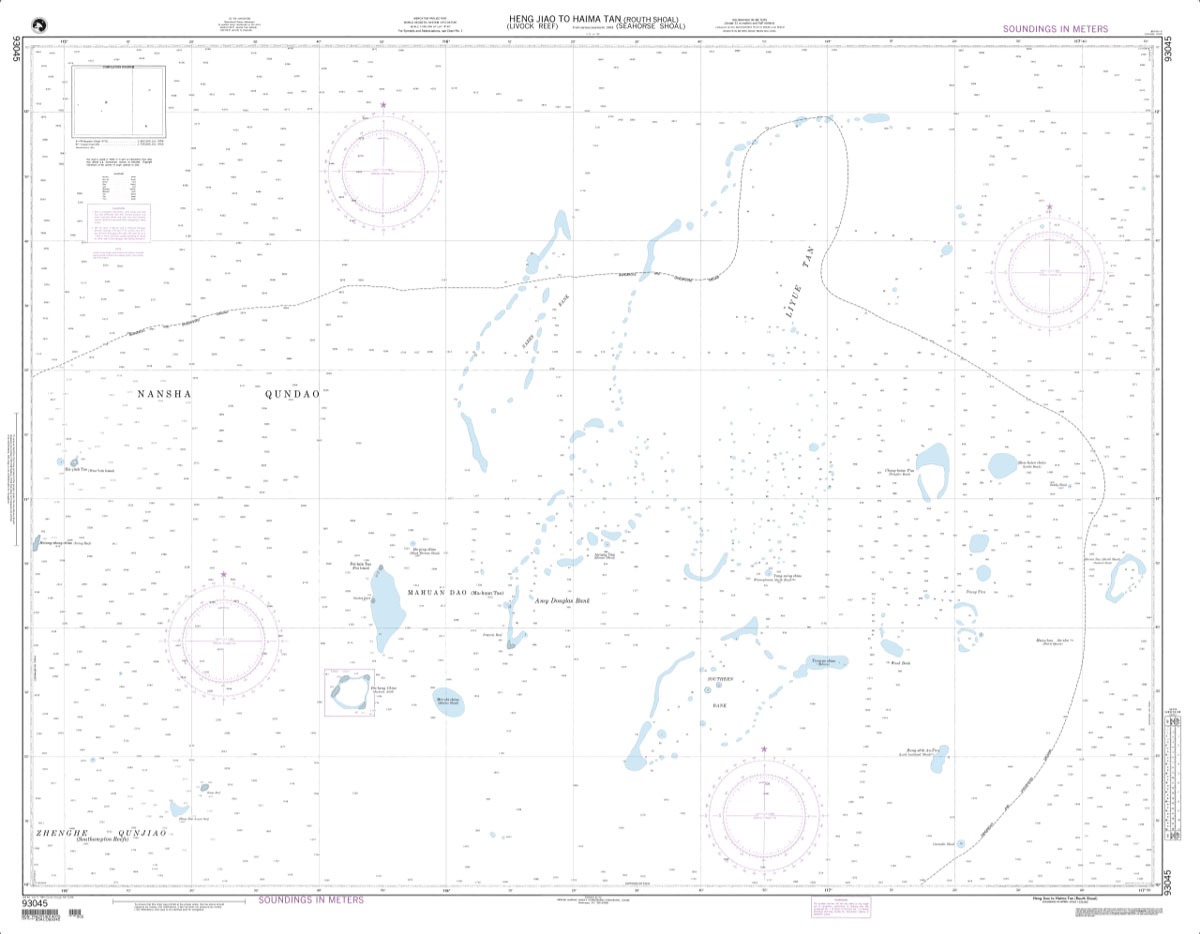
NGA Chart 93045 – Heng Jiao to Haima Tan [Routh Shoal]
Related Products:
 NGA Chart 93044 – Yongshu Jiao to Yongdeng Ansha
 NGA Chart 93047 – Yongshu Jiao to Po-Land Chiao
 Admiralty Chart 1254 – Qingdao to Chengshan Jiao
 Admiralty Chart 1255 – Chengshan Jiao to Laotieshan Xijiao
 Admiralty Chart 1369 – Tianwei Jiao to Daxing Shan
 Admiralty Chart 2731 – Narragansett Bay Hog Island Shoal to Providence Harbor
 Admiralty Chart 318 – Ramayapatnam to Sacramento Shoal
 Admiralty Chart 319 – Sacramento Shoal to Kalingapatnum
 Admiralty Chart 3851 – Ship Shoal to Pensacola Bay
 Admiralty Chart 3850 – Galveston Bay to Ship Shoal
 NOAA Chart 11439 – Sand Key to Rebecca Shoal
 Admiralty Chart AUS312 – Dillon Shoal to East Timor
 Admiralty Chart AUS311 – Calder Shoal to Meatij Miarang
 Admiralty Chart AUS318 – Pelican Island to Penguin Shoal
 Admiralty Chart AUS319 – Penguin Shoal to Browse Island
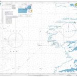 Admiralty Chart AUS296 – Goods Island to Proudfoot Shoal
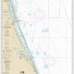 NOAA Chart 11474 – Bethel Shoal to Jupiter Inlet
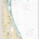 NOAA Chart 11476 – Cape Canaveral to Bethel Shoal
 NOAA Chart 12256 – Chesapeake Bay’”Thimble Shoal Channel
 NOAA Chart 11450 – Fowey Rocks to American Shoal
 Admiralty Chart AUS309 – Darwin to Penguin Shoal (Eastern Sheet)
 Admiralty Chart AUS315 – Darwin to Penguin Shoal (Western Sheet)
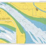 Admiralty Chart 1229 – Khawr Abd Allah Hadd Warbah to Athan Shoal
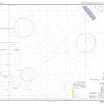 Admiralty Chart 3520 – Khawr Kalba and Dawhat Diba to Gahha Shoal
 Admiralty Chart 1338 – Seria to Balabac Strait including Investigator Shoal
 NOAA Chart 12254 – Chesapeake Bay’”Cape Henry to Thimble Shoal Light
 NOAA Chart 19480 – Gambia Shoal to Kure Atoll, including Approaches to the Midway Islands
 Eye of the Shoal: A Fishwatcher`s Guide to Life, the Ocean and Everything
 Admiralty Chart 4794 – Canada General Chart, Great Lakes
 NOAA Chart 14786 – SMALL-CRAFT BOOK CHART – New York State Canal System (book of 61 Charts)
 NOAA Chart 14926 – SMALL-CRAFT BOOK CHART – Chicago and South Shore of Lake Michigan (book of 30 charts)
 NOAA Chart 12334 – New York Harbor’”Upper Bay and Narrows (Anchorage Chart)
 Admiralty Chart 4004 – A Planning Chart for the North Atlantic Ocean and Mediterranean Sea
 Admiralty Chart 4001 – A planning chart for the Atlantic and Indian Oceans
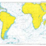 Admiralty Chart 4003 – A Planning Chart for the South Atlantic Ocean
 Admiralty Chart 4008 – A Planning Chart for the North Pacific Ocean
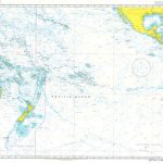 Admiralty Chart 4007 – A Planning Chart for the South Pacific Ocean
 Admiralty Chart 4006 – Arctic Region Planning Chart
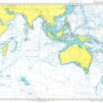 Admiralty Chart 4005 – A Planning Chart for the Indian Ocean
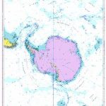 Admiralty Chart 4009 – A Planning Chart for the Antarctic Region


