Disclosure : This site contains affiliate links to products. We may receive a commission for purchases made through these links.
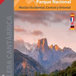
Picos de Europa National Park 3-Map and Guide Set CNIG SPANISH
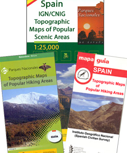
Picos de Europa – English edition, on a set of three double-sided, contoured and GPS-compatible maps at 1:25,000 from the Spanish civilian survey organization, prominently highlighting numerous hiking and sightseeing routes, plus a 240-page English language guide with route descriptions, etc.The maps have cartography of Spain’s civilian topographic survey at 1:25,000 with contours at 10m intervals, enhanced by relief shading and altitude colouring. Extensive overprint highlights numerous routes: local, PR and GR hiking trails, mountain bike routes, as well as 4×4 tracks and sightseeing tourist routes. A very wide range of symbols indicate local facilities, recreational sites and places of interest, including climbing and paragliding sites, watersport facilities, equestrian centres, various types of accommodation (hotels, paradors, campsites, refuges, etc). restaurants and bars, bird watching sites, etc. Road network indicates routes served by bus services, car parks and petrol stations. The map has a 1km UTM grid plus margin ticks for latitude and longitude at 1’ intervals. Map legend includes English.The accompanying guide is illustrated with numerous colour photos and provides a description of the region, list of useful addresses including the accommodation options, plus descriptions of several recommended hiking routes of various degree of difficilty.To see other titles in this series please click on the series link.


