Disclosure : This site contains affiliate links to products. We may receive a commission for purchases made through these links.
Frankfurt am Main Borch
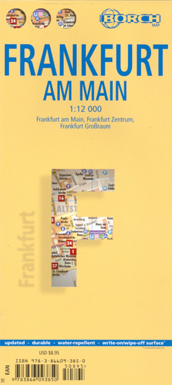
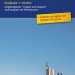
Excellent laminated and waterproof map for visitors to Frankfurt, combining a plan of the city with an enlargement for the town centre highlighting 30 top sights, a road map of the environs, public transport diagram, etc. The main plan at 1:12,000 covers the city’s inner districts, including the Messe Frankfurt grounds. The plan shows one way streets, parking facilities, U-Bahn and S-Bahn connections, public buildings such as museums, theatres, churches, etc. On the reverse is a more detailed enlargement a t 1:8.250 for the central part of the city. The two plans prominently highlight selected top sights.A map of the environs at 1:110,000 shows the motorway ring around the city and in its environs, including access to Frankfurt’s international airport. Each plan and the road map have separate indexes. Also included is a list of the city’s top 30 sights, all highlighted on the plans and/or the road map, a diagram of the U-Bahn, S-Bahn and rail networks, a small administrative map of the Germany, and information on the city’s climate.


